Dr. Gladys West and the Secret Stars
My name is Dr. Gladys West, and my story begins not with satellites or secret codes, but with a simple love for puzzles. Growing up on a small farm in Sutherland, Virginia, during the 1930s and 1940s, life was about hard work in the fields. But my mind was always somewhere else, lost in the neat, perfect world of numbers. While others saw chores, I saw patterns. While they saw rows of crops, I saw geometry. Math wasn't just a subject in school; it was a beautiful, logical game, and I was determined to win. This passion earned me a scholarship to college, and eventually, in 1956, it led me to a place that felt like it was from a science fiction movie: the U.S. Naval Proving Ground in Dahlgren, Virginia. It was a world of brilliant scientists and engineers, all working on projects that could change the world. At the time, we were facing a gigantic puzzle. Imagine you are the captain of a submarine deep in the ocean or a pilot flying high above the clouds. How do you know exactly where you are? Compasses and stars helped, but they weren't perfect. We needed a system that could tell you your precise location—down to the very meter—anywhere on Earth, at any time. The challenge was immense, a puzzle so big it seemed impossible to solve. But for a girl who loved puzzles, it was the most exciting challenge I could ever imagine.
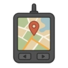
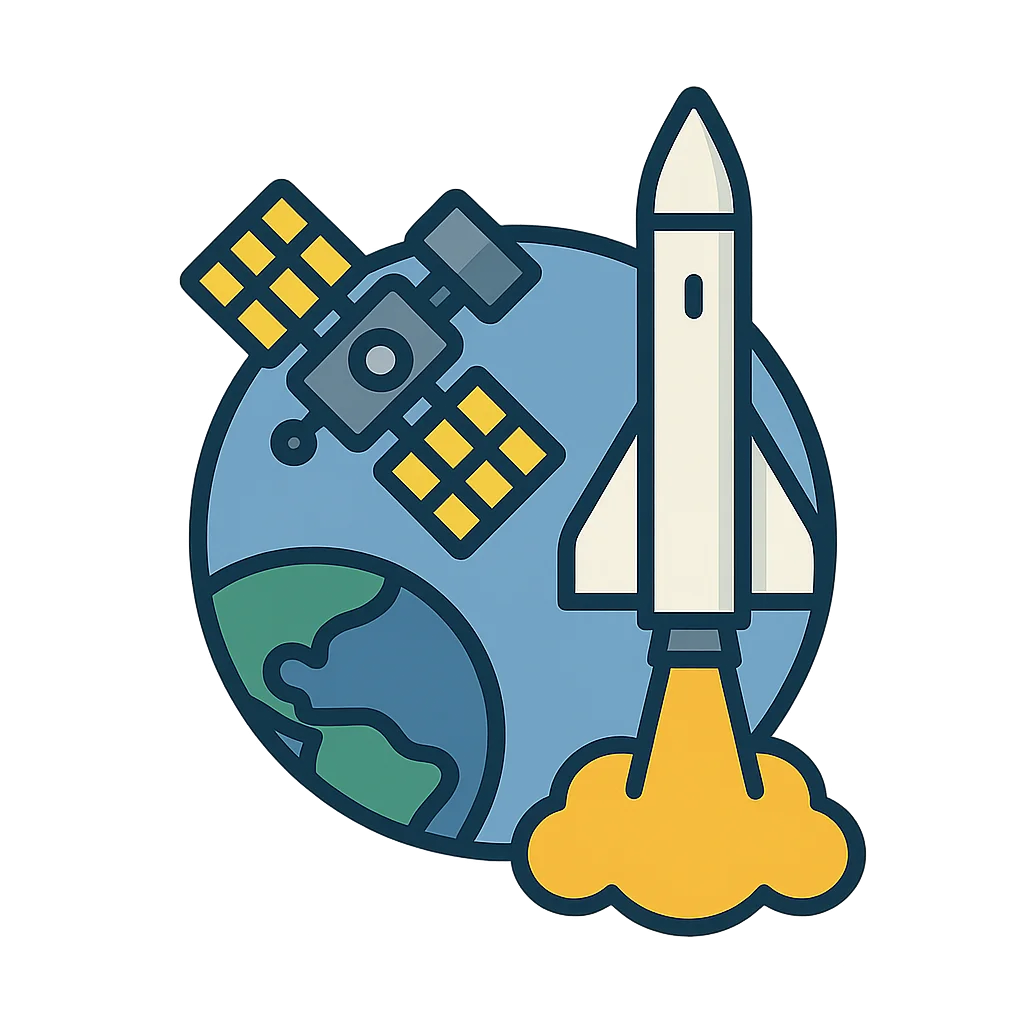
To solve this global puzzle, we looked to the stars. Or rather, we decided to make our own. The idea was to launch a series of satellites into orbit, creating a constellation of man-made stars that would constantly circle the globe. These satellites would send signals down to Earth, and a receiver could use those signals to calculate its exact position. It was a brilliant concept, but it had a massive problem. For the math to work, we needed to know the exact shape of the Earth. And here’s a secret: the Earth is not a perfect sphere. It’s a bit lumpy and bumpy, slightly wider at the equator, and affected by the pull of gravity from mountains and ocean trenches. It’s more like a slightly squashed, lumpy potato than a smooth marble. My job, my giant piece of the puzzle, was to create the most detailed and accurate mathematical model of the Earth's true shape, called a geoid, that had ever existed. This wasn't something I could just look up in a book. I had to build it from scratch, using data from the earliest satellites. The computers I worked with weren't like the sleek laptops you have today. They were giants, filling entire rooms, with whirring magnetic tapes and thousands of blinking lights. I would write programs on punch cards, feeding stacks of them into the machine and waiting hours, sometimes days, for the results. It was slow, painstaking work. I spent countless hours programming and double-checking every single calculation. An error of just a few centimeters in my model could mean a ship or plane would be miles off course. For years, my team and I worked, refining our model, making it more and more precise. We were building the invisible foundation for a system nobody had ever seen before. By the mid-1970s, our work was ready. The plan was set to launch the very first satellite for this new Global Positioning System, or GPS. As the launch date of February 22nd, 1978, approached, a nervous energy filled our labs. We had all poured our careers into these numbers, these equations on a page. Now, we were about to find out if our mathematical world would hold up in the real one.
When that first satellite successfully launched into the sky, it was more than just a piece of metal in orbit. For me, it was the solution to the greatest puzzle of my life. It was a tiny, winking star that proved our years of hard work, our late nights, and our millions of calculations were correct. It worked. That single satellite was just the beginning. Over the next decade, more were launched, creating a network that blanketed the entire planet. We had built an invisible grid around the world, a system that could guide anyone, anywhere. Back then, we thought of it mostly as a tool for the military, for those ships and planes. I never imagined that the complex mathematical model I built would one day live inside your family’s car, or even in the phone in your pocket. The technology that helps you find a friend's house, track a pizza delivery, or play augmented reality games is built upon that precise, mathematical description of our lumpy planet. My work was to build the foundation, to make sure the map was right before anyone could use it for a journey. So when you next look at a map on a screen, remember that it began with a girl who loved puzzles, a team of dedicated scientists, and the idea that with enough curiosity and perseverance, you can map the entire world and help everyone find their way.
Activities
Take a Quiz
Test what you learned with a fun quiz!
Get creative with colors!
Print a coloring book page of this topic.