The Story of the Map
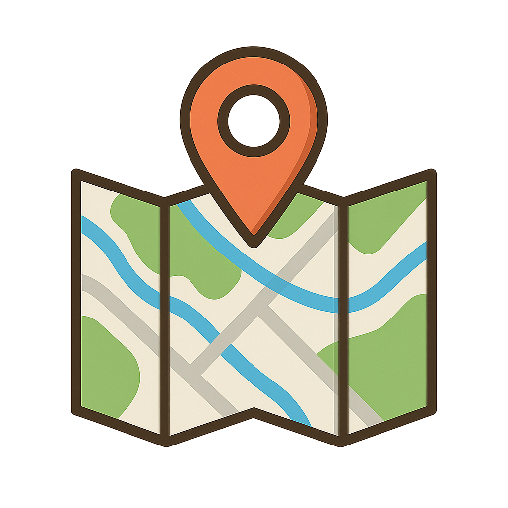
Imagine holding the world in your hands. Sometimes I am a crinkly, fragile piece of paper, my edges softened by time and countless journeys. Other times, I am a heavy book, its pages bursting with vibrant colors, or a smooth, glowing screen that responds to your touch. I speak a secret language, a silent conversation of lines, colors, and symbols. A thin blue squiggle whispers the story of a winding river. A cluster of tiny squares hums with the life of a bustling city. Jagged brown lines rise up to tell you of towering mountains that scrape the sky. I am a promise of adventure, a guide for the lost, and a storyteller of places you've only dreamed of. I can show you the shortest path to your friend’s house or a hidden trail deep within a forest. Before you even knew you needed a guide, I was waiting to show you the way. I am a key to understanding the shape of your world. I am a Map.
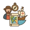
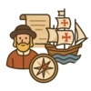
My life has been a long and incredible journey, stretching back thousands of years. One of my earliest memories is of being a heavy clay tablet, carefully etched in Babylon around 600 BCE. My creators tried to capture the entire world as they knew it, a flat circle with their great city right in the center, surrounded by a bitter river. It was a brave attempt, but the world was so much bigger than they imagined. For centuries, I was more of an idea than a precise tool. That began to change thanks to the brilliant minds of the ancient Greeks. A man named Claudius Ptolemy, working around the year 150 CE, gave me one of my greatest gifts. He gave me a skeleton, a grid of invisible lines he called latitude and longitude. Suddenly, I had structure. Anyone, anywhere, could use this grid to pinpoint a location. It was a revolutionary idea that made me far more reliable. My true age of adventure, however, arrived with the great sailing ships of the Age of Discovery. Explorers, hungry to find new trade routes and unknown lands, needed me more than ever. I was their most trusted companion on terrifying voyages across vast, empty oceans. My pages were filled with new coastlines as sailors charted the unknown. Of course, we didn't get everything right. In the places where knowledge ended, imagination took over, and my corners were sometimes filled with swirling sea monsters and warnings of dragons. It was on April 25th, 1507, that I had one of my proudest moments. A German cartographer named Martin Waldseemüller, working with the latest reports from explorers, published a new version of me. For the very first time, he labeled a massive, newly-revealed continent with a brand-new name: America. The name stuck. As centuries passed, science and new instruments made me more and more accurate. The sea monsters vanished, replaced by precise depths and wind patterns. I helped people build nations, define their borders, and truly understand the beautiful, spherical planet they called home.
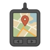
My form has changed dramatically, but my heart remains the same. I am no longer just ink on paper, tucked away in a ship captain’s chest. Today, I live inside your family’s car, your parents’ phones, and the computers that connect the globe. I am made of pixels and data, powered by a constellation of satellites that orbit high above the Earth, a system you know as GPS. These satellites are my eyes in the sky, allowing me to guide you with incredible precision. I can show you real-time traffic to help you avoid a jam, help you find the best pizza place in a new city, or even guide a robotic rover exploring the red dust of Mars, a world away. I help scientists track the paths of hurricanes and watch over shrinking glaciers, giving them the information they need to protect our planet. My fundamental purpose has never wavered: I exist to help you understand and navigate your world. My journey from a clay tablet to a dynamic, digital guide is a story of human curiosity. I am still a tool for discovery, and I hope I inspire you to keep exploring. Whether you are charting a path through your own neighborhood or dreaming of one day navigating the stars, I will always be there to help you find your way.
Activities
Take a Quiz
Test what you learned with a fun quiz!
Get creative with colors!
Print a coloring book page of this topic.