English

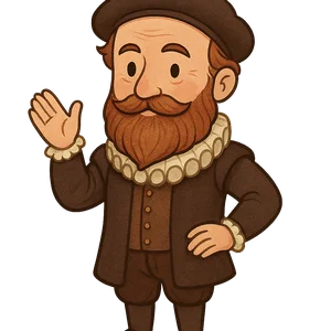
Abraham Ortelius
Abraham Ortelius was a Flemish cartographer and geographer who is credited with creating the first modern…
Reads at Grades 6–8 Listens at Grades 4–8
Print & create
Answer keys·No prep·Free with an account
28 worksheets · answer keys · full story · quiz · Ages 10-12 · CEFR B2
Plus adds 208,000+ more stories in 27 languages, audio for every one, and printables for all of them.
Just want Abraham Ortelius?
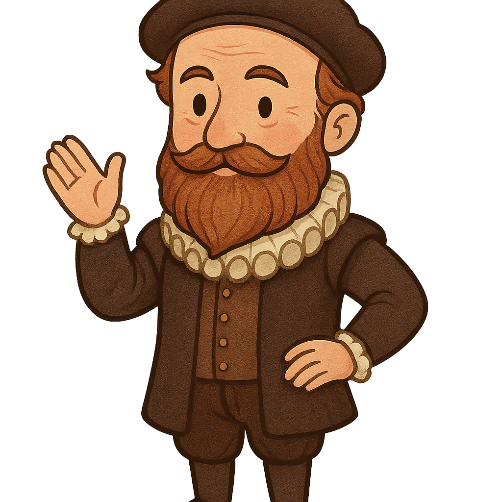
Hello, my name is Abraham Ortelius. I was born on April 14th, 1527, in the vibrant city of Antwerp, which is in modern-day Belgium. In the 16th century, Antwerp was a major center for trade and learning, so it was an exciting place to grow up. My family was in the business of selling rare books and beautiful prints, and our shop was filled with incredible images and stories. From a very young age, I was completely captivated by the maps we sold. They weren't just lines on paper to me; they were windows to distant, mysterious lands. I would spend hours studying the detailed drawings of coastlines, mountains, and cities I had never seen. I dreamed of what it would be like to visit these places and see the world beyond my home. This early fascination, surrounded by books and art, sparked a lifelong passion for geography and exploration that would guide my entire career.
My career began around the year 1547, when I started working as a map illuminator. My job was to add vibrant colors to black-and-white maps, bringing the landscapes to life with paints and gold leaf. It was detailed work that required a steady hand and a good eye. After learning the trade, I started my own business, much like my family's, where I bought and sold maps, books, and antiques. This work took me on incredible journeys all across Europe. I traveled to Italy, France, and Germany, searching for rare and important maps created by the finest cartographers of the age. On one of these trips, around 1554, I met a man who would become a dear friend and a great influence on my work: Gerardus Mercator. He was already a brilliant and respected mapmaker. We traveled together and had long discussions about geography, discovery, and the challenges of accurately representing the world on paper. These conversations were incredibly inspiring and pushed me to think about maps in a new and ambitious way.
Abraham Ortelius: The Man Who Mapped the World
Hello, my name is Abraham Ortelius. I was born on April 14th, 1527, in the vibrant city of Antwerp, which is in modern-day Belgium. In the 16th century, Antwerp was a major center for trade and learning, so it was an exciting place to grow up. My family was in the business of selling rare books and beautiful prints, and our shop was filled with incredible images and stories. From a very young age, I was completely captivated by the maps we sold. They weren't just lines on paper to me; they were windows to distant, mysterious lands. I would spend hours studying the detailed drawings of coastlines, mountains, and cities I had never seen. I dreamed of what it would be like to visit these places and see the world beyond my home. This early fascination, surrounded by books and art, sparked a lifelong passion for geography and exploration that would guide my entire career.
My career began around the year 1547, when I started working as a map illuminator. My job was to add vibrant colors to black-and-white maps, bringing the landscapes to life with paints and gold leaf. It was detailed work that required a steady hand and a good eye. After learning the trade, I started my own business, much like my family's, where I bought and sold maps, books, and antiques. This work took me on incredible journeys all across Europe. I traveled to Italy, France, and Germany, searching for rare and important maps created by the finest cartographers of the age. On one of these trips, around 1554, I met a man who would become a dear friend and a great influence on my work: Gerardus Mercator. He was already a brilliant and respected mapmaker. We traveled together and had long discussions about geography, discovery, and the challenges of accurately representing the world on paper. These conversations were incredibly inspiring and pushed me to think about maps in a new and ambitious way.
By the 1560s, I had become an expert in the world of maps, but I noticed a significant problem. If you wanted to study the world, you had to collect maps from dozens of different mapmakers. Each map was a different size and shape, drawn in a unique style, and based on different information. It was messy and confusing to try and piece them together to get a clear picture of the world. One day, during a conversation, my friend Gerardus Mercator gave me a groundbreaking suggestion. He told me that instead of just selling individual maps, I should be the one to gather all the best maps of the known world and publish them together in a single, organized book. The idea was enormous, but it immediately captured my imagination. I envisioned creating a 'theater of the world,' a single volume where a person could turn the pages and see all the lands of the Earth unfold before their eyes, just like watching a grand play on a stage. This book would present the world in a consistent, uniform, and accessible way for the very first time.
Turning my vision into a reality was an immense undertaking that required years of dedicated work. I began the enormous task of collecting the best maps available from cartographers all across Europe. I carefully selected 53 maps that I believed were the most accurate and detailed representations of the world's regions. But I couldn't just bind them together. To create the uniform look I wanted, I had to re-draw each map so that they were all the same size and shared a consistent artistic style. This created a sense of harmony and made the collection feel like a single, unified work. Once the new drawings were complete, I hired skilled artisans to engrave them onto large copper plates. This was a difficult and expensive process, but it was necessary for printing high-quality copies. Finally, on May 20th, 1570, my masterpiece was published. I called it the 'Theatrum Orbis Terrarum', which is Latin for 'Theater of the World'. It is considered the very first modern atlas. One thing I made sure to do, which was quite unusual for that time, was to include a list of all the original cartographers whose work I had used. I believed it was important to give them credit for their contributions to this grand project.
The 'Theatrum Orbis Terrarum' was an immediate success. People across Europe were amazed to finally have a book that showed the entire known world in one place. Scholars, merchants, and kings all wanted a copy. The demand was so high that my atlas was reprinted many times over the years and was even translated into several different languages so more people could use it. My work did not go unnoticed by the powerful rulers of the time. In 1575, I received a great honor: King Philip II of Spain appointed me as his official geographer. This was a prestigious position that recognized me as one of the leading experts in the field. As geographer to the king, I had access to the latest information from explorers and scholars. I used this knowledge to continually improve my atlas, adding new maps and updating existing ones as more of the world was discovered. My 'theater' was a living work that grew and changed with our understanding of the planet.
Looking back, I am proud that my work helped people of my time see the world not as a collection of separate, disconnected places, but as a single, interconnected whole. My atlas brought the distant corners of the Earth into people's homes and libraries. I lived to be 71 years old and passed away in my beloved city of Antwerp in 1598. My creation, the 'Theatrum Orbis Terrarum', is still remembered as a major turning point in the history of geography and mapmaking. It set the standard for what an atlas should be and laid the foundation for all the maps and digital globes that help us explore our world today.
Wow facts
About
Abraham Ortelius was a Flemish cartographer and geographer who is credited with creating the first modern atlas, the Theatrum Orbis Terrarum, and was one of the first to propose the idea of continental drift.
Take a Quiz
Question 1 of 5
What was the main problem Abraham Ortelius solved by creating the 'Theatrum Orbis Terrarum'?
Explore next


Want to do even more?
Go beyond exploring. Unlock tools that turn every story into real learning.
Storypie Plus for families
Full stories, quizzes, and printables. Nights and car rides, sorted.
- Unlimited audio stories
- Create Mode: your child stars in the story
- Offline downloads
- Printable worksheets & coloring pages

Why Storypie for Schools
Students engaged. Prep in seconds. Evenings back to you.
- Worksheets & Quizzes
- Classroom Management
- Formative Assessment
- Custom Curriculum & Lesson Plans
- 27 Languages

Why Storypie for Homeschool
Curriculum done. They'll ask for more. Hours back in your day.
- Worksheet Generator
- First-Person Audio Stories
- Built-in Comprehension Quizzes
- Custom Curriculum & Lesson Plans
- Print & Go Activities