English

Cartography
Cartography is the science and art of making maps, representing geographical areas on a flat surface.
Reads at Grades 6–8 Listens at Grades 4–8
Print & create
Answer keys·No prep·Free with an account
28 worksheets · answer keys · full story · quiz · Ages 10-12 · CEFR B2
Plus adds 164,000+ more stories in 27 languages, audio for every one, and printables for all of them.
Just want Cartography?
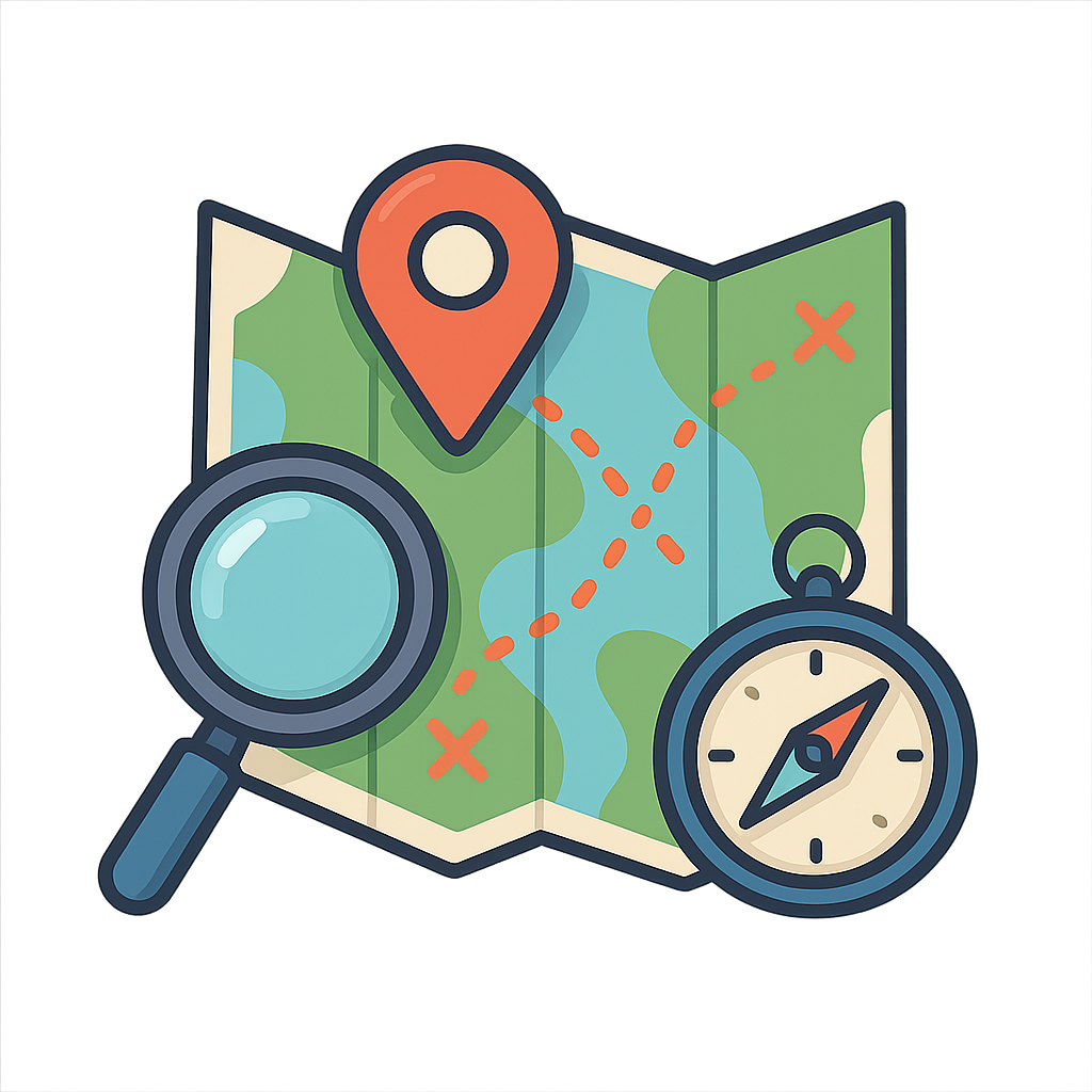
Have you ever stood at the edge of your neighborhood, wondering what lay beyond the next street? Or perhaps you’ve gazed at a forest, a mountain, or an ocean and felt a powerful pull to know what was on the other side. That feeling, that deep human curiosity, is where my story begins. It’s the desire to know 'what’s over there?' and the need to answer 'how do I get back home?'. I am the answer to both. I am a special kind of drawing, a language of lines and symbols that can take the vast, complicated, and sprawling world and turn it into something you can hold in your hands or view on a screen. I show you where rivers carve through the land, where mountains pierce the sky, and where roads connect towns and cities like threads in a giant tapestry. I am a guide for the lost, a storyteller for the curious, and a key that unlocks the secrets of a place. I give you the power to see the world not just as it is in front of you, but as a whole. I am Cartography, the art and science of mapmaking.
My story begins long before there were books or paper, in a time when people’s worlds were much smaller. One of my oldest surviving portraits was discovered on a wall in a place called Çatalhöyük, in modern-day Turkey. Around 6200 BCE, someone painted a plan of their town, showing dozens of houses packed closely together. But they also included something dramatic looming over the town: a picture of a twin-peaked volcano, Mount Hasan, erupting with fire and ash. This wasn't just a drawing; it was a story of their home and the powerful forces of nature surrounding it. Thousands of years later, around the 6th century BCE in ancient Babylon, people etched me onto a soft clay tablet. This map showed their world as a flat, circular disc with the great city of Babylon right at the center. It was surrounded by a bitter river, the great ocean, and beyond that were seven mysterious islands. These early versions of me were not perfectly to scale or scientifically precise, but they were incredibly important. They showed how people understood their own place in the cosmos, placing their own homes at the heart of everything they knew. I was a reflection of their worldview.
The World in Your Hands
Have you ever stood at the edge of your neighborhood, wondering what lay beyond the next street? Or perhaps you’ve gazed at a forest, a mountain, or an ocean and felt a powerful pull to know what was on the other side. That feeling, that deep human curiosity, is where my story begins. It’s the desire to know 'what’s over there?' and the need to answer 'how do I get back home?'. I am the answer to both. I am a special kind of drawing, a language of lines and symbols that can take the vast, complicated, and sprawling world and turn it into something you can hold in your hands or view on a screen. I show you where rivers carve through the land, where mountains pierce the sky, and where roads connect towns and cities like threads in a giant tapestry. I am a guide for the lost, a storyteller for the curious, and a key that unlocks the secrets of a place. I give you the power to see the world not just as it is in front of you, but as a whole. I am Cartography, the art and science of mapmaking.
My story begins long before there were books or paper, in a time when people’s worlds were much smaller. One of my oldest surviving portraits was discovered on a wall in a place called Çatalhöyük, in modern-day Turkey. Around 6200 BCE, someone painted a plan of their town, showing dozens of houses packed closely together. But they also included something dramatic looming over the town: a picture of a twin-peaked volcano, Mount Hasan, erupting with fire and ash. This wasn't just a drawing; it was a story of their home and the powerful forces of nature surrounding it. Thousands of years later, around the 6th century BCE in ancient Babylon, people etched me onto a soft clay tablet. This map showed their world as a flat, circular disc with the great city of Babylon right at the center. It was surrounded by a bitter river, the great ocean, and beyond that were seven mysterious islands. These early versions of me were not perfectly to scale or scientifically precise, but they were incredibly important. They showed how people understood their own place in the cosmos, placing their own homes at the heart of everything they knew. I was a reflection of their worldview.
As civilizations traded ideas and explored their borders, I grew more sophisticated. The ancient Greeks, with their love for logic and mathematics, gave me a new kind of structure. Around 150 CE, a brilliant scholar in Alexandria named Ptolemy created a system of invisible lines that wrapped around the globe. He called them latitude and longitude. This grid system meant that any location on Earth could be pinpointed with a set of numbers, a revolutionary idea that is the foundation for how I work even today. His book, 'Geographia,' contained maps and instructions on how to create them, preserving geographic knowledge for centuries. Later, during the Islamic Golden Age, scholars carefully studied Ptolemy's work and improved upon it. In 1154, a geographer named Muhammad al-Idrisi created one of my most beautiful forms: a giant, circular map of the known world engraved on a disc of solid silver for the King of Sicily. Then came the great Age of Discovery in the 15th and 16th centuries. I was the most vital tool for explorers like Columbus and Magellan. With every voyage into the unknown, I was updated, corrected, and redrawn. Coastlines that were once vague guesses became sharp and clear. In 1569, a man named Gerardus Mercator created a new kind of world map. His projection was a clever trick: it kept the lines of longitude parallel instead of converging at the poles. This distorted the size of landmasses near the poles, making Greenland look enormous, but it allowed sailors to plot a course in a straight line, making me the most trusted friend a captain could have on a long, dangerous journey across the open ocean.
For centuries, I lived primarily on parchment and paper, drawn by a patient hand with ink and paint. Each copy was a work of art. The invention of the printing press in the 15th century changed my life forever. Suddenly, I could be duplicated quickly and cheaply, allowing my knowledge to spread far beyond royal courts and ship captains. I became available to students, merchants, and everyday people. But my next great leap came from leaving the ground entirely. With the invention of airplanes and aerial photography in the 20th century, I gained a bird’s-eye view of the world. For the first time, I could show the true shape of coastlines, the sprawl of cities, and the patterns of forests with perfect accuracy. The ultimate change, however, happened when humanity reached for the stars. Starting in the 1970s, a network of satellites was launched into orbit around the Earth. These satellites carried incredibly precise clocks and constantly sent signals down to the surface. This network gave birth to the Global Positioning System, or GPS. By listening to the signals from several satellites at once, a small receiver on the ground could calculate its exact position on the planet, often down to a matter of feet. I was no longer just a static drawing of the world; I had become a dynamic, real-time guide.
Today, you probably carry me in your pocket. I live inside your smartphone, on your computer, and in your family’s car. I can show you the fastest route to the library, point out the nearest ice cream shop, or trace a hiking trail up a mountain you’ve never seen before. I am no longer just lines on a page; I am layers of information. I can show you traffic in real-time, display reviews for a restaurant, or even take you on a virtual tour of a street on the other side of the planet. Though my form has changed from a wall painting to a digital, interactive guide, my soul remains the same. I still hold the magic I did for that ancient artist in Çatalhöyük: the power to show you where you are, to remind you where you have been, and to reveal all the incredible places you have yet to go. I am the ever-evolving story of our world, and I am here to help you write your own chapter in it.
Wow facts
About
Cartography is the science and art of making maps, representing geographical areas on a flat surface. It has evolved from ancient drawings on cave walls to modern digital maps and GPS.
Take a Quiz
Question 1 of 5
According to the story, why was Gerardus Mercator's 1569 map projection so useful for sailors?
Explore next

Want to do even more?
Go beyond exploring. Unlock tools that turn every story into real learning.
Storypie Plus for families
Full stories, quizzes, and printables. Nights and car rides, sorted.
- Unlimited audio stories
- Create Mode: your child stars in the story
- Offline downloads
- Printable worksheets & coloring pages

Why Storypie for Schools
Students engaged. Prep in seconds. Evenings back to you.
- Worksheets & Quizzes
- Classroom Management
- Formative Assessment
- Custom Curriculum & Lesson Plans
- 27 Languages

Why Storypie for Homeschool
Curriculum done. They'll ask for more. Hours back in your day.
- Worksheet Generator
- First-Person Audio Stories
- Built-in Comprehension Quizzes
- Custom Curriculum & Lesson Plans
- Print & Go Activities