The World's Secret Address
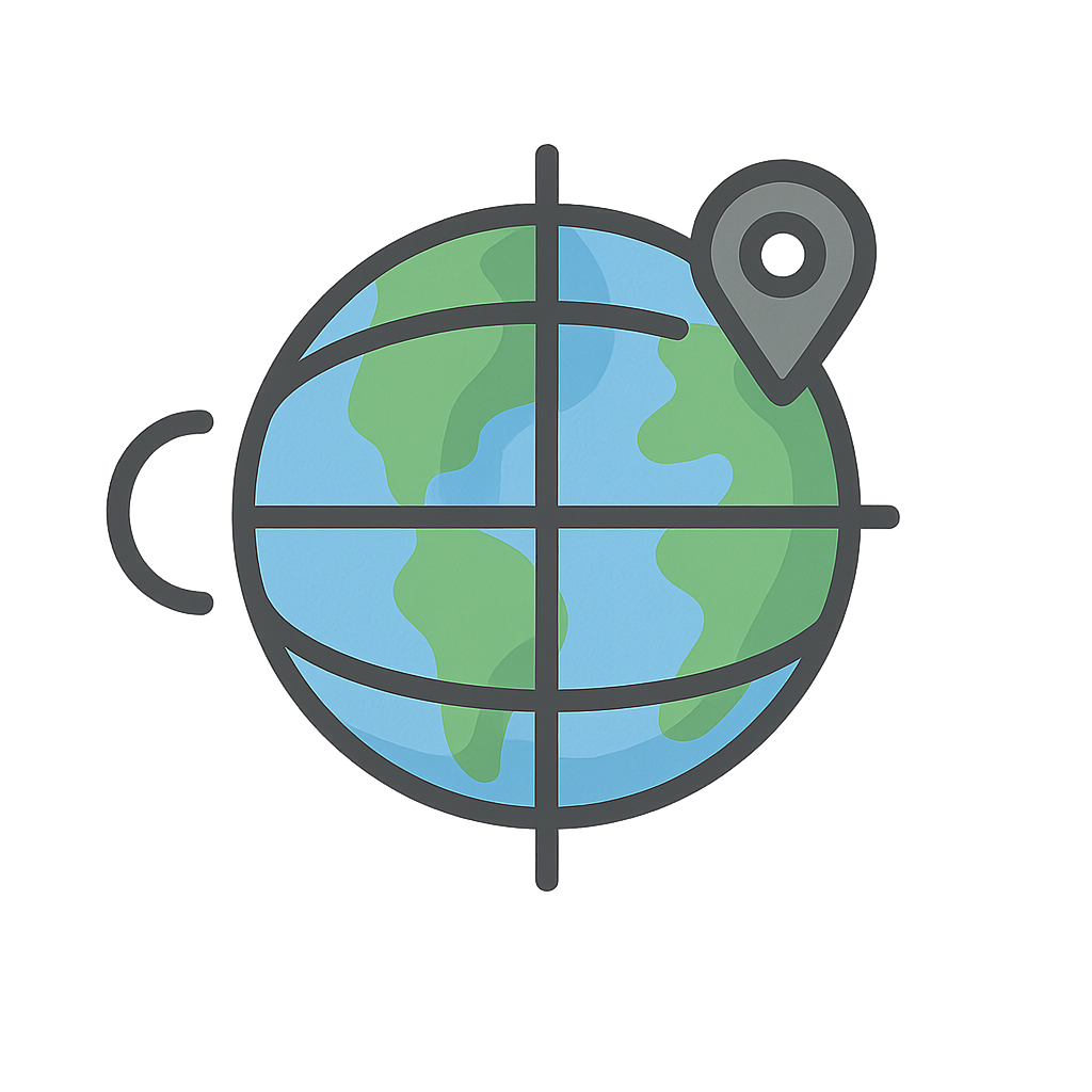
Can you imagine the whole world wrapped in a giant, invisible spider's web? Or picture our planet covered in a huge, see-through sheet of graph paper, with lines running up and down and side to side. Every mountain peak, every deep blue ocean trench, and even the very spot where your feet are resting right now has its own special place on this invisible grid. It's like a secret address book for the entire Earth. Instead of street names and numbers, it uses a special code of lines that can pinpoint any location with amazing accuracy. For thousands of years, people knew this grid existed. Great thinkers like an ancient Greek named Eratosthenes had ideas about me and my partner, but using us perfectly was a big mystery. It was a puzzle that kept the smartest explorers guessing and the bravest sailors scratching their heads in the middle of the vast, empty ocean. Can you believe that for a long time, people could only know half of their address? Well, the secret is out, and we’re here to tell you our story. I am Latitude, and this is my partner, Longitude. Together, we make up the world's secret address book, and we help everyone find their way.
Hello there, it's me, Latitude, again. You can think of me as the flat lines that run east and west around the Earth, like the rungs on a giant ladder. My most famous line is the Equator, which circles the very middle of the planet. For a long time, I was the easy one for sailors to figure out. They could look at the position of the sun during the day or find the North Star at night to learn how far north or south they were. It was simple enough. But my partner here, Longitude, was a real head-scratcher. I’m Longitude, the up-and-down lines that stretch from the North Pole to the South Pole, like the slices of an orange. Measuring me was the great puzzle of the sea. Sailors knew how to go north or south, but figuring out east or west was almost impossible. Imagine being on a boat in the middle of a huge ocean with no landmarks. You could be just a few miles from your destination or hundreds of miles off course, and you'd have no way of knowing. This was called the 'Longitude Problem,' and it caused countless shipwrecks. It was so serious that the British government created the Longitude Act in 1714, offering a huge prize—millions of dollars in today's money—to anyone who could solve it. Scientists and astronomers tried all sorts of complicated ideas, but the hero of our story was a clever clockmaker named John Harrison. He had a brilliant and simple idea: what if you had a clock so accurate it could keep perfect time from your home port, even on a rocky, swaying ship? By comparing the time on the clock to the local time, which you can find from the sun, you could calculate your exact position east or west. It took him decades, but he built a series of amazing sea clocks, called marine chronometers, that finally solved the puzzle and made the world's oceans safe to travel.
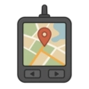
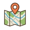
John Harrison’s amazing clocks were just the beginning of our career. Today, you don't need a fancy brass chronometer to find us. We are the invisible language spoken between your phone and the satellites orbiting high above the Earth. That’s right, we are the magic behind GPS. Every time you ask a grown-up for directions to a friend's house, we are the ones guiding the little blue dot on the screen. When an airplane soars through the clouds, its pilots are using us to stay on the perfect path. When a meteorologist tracks a swirling hurricane to keep people safe, they are using our coordinates. We help make sure packages arrive at your doorstep and that your pizza delivery driver doesn't get lost. We are an idea that grew from an ancient puzzle into a tool that connects the entire world. Our story proves that with clever thinking, a lot of hard work, and persistence—just like John Harrison showed—even the biggest puzzles can be solved. We are the invisible lines that help you find your way, explore every corner of our amazing planet, and always know exactly where you are.
Activities
Take a Quiz
Test what you learned with a fun quiz!
Get creative with colors!
Print a coloring book page of this topic.