English

Longitude and Latitude
Longitude and Latitude form a geographic coordinate system…
Reads at Grades K-2 Listens at K–3
Print & create
Answer keys·No prep·Free with an account
28 worksheets · answer keys · full story · quiz · Ages 6-8 · CEFR A2
Plus adds 244,000+ more stories in 27 languages, audio for every one, and printables for all of them.
Just want Longitude and Latitude?
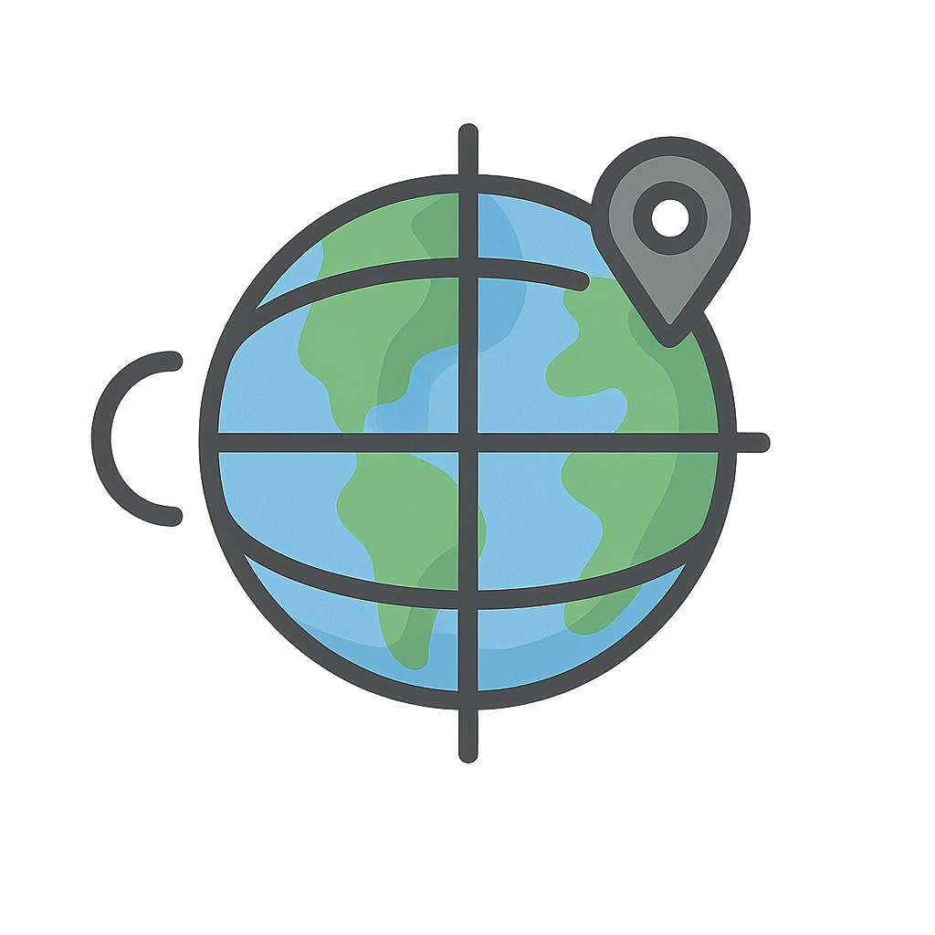
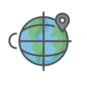
Imagine the whole world is a giant, round ball. Now, picture invisible lines drawn all over it! Some lines go up and down, from the chilly North Pole to the icy South Pole. Other lines wrap around the middle, like a big belt around a giant's tummy. These lines cross over each other, making millions of tiny squares all over the globe. We are those lines, and we’re like a secret treasure map for the whole world. We can tell you the exact spot of anything—your house, a pirate’s buried treasure, or the tallest mountain! It's like giving every single place on the planet its own secret code. Before we came along, finding your way across a big ocean was very tricky. Hello! We are Longitude and Latitude, and we’re here to help you find your way.
We’re actually two friends who work together as a team. I’m Latitude, and my lines run side-to-side, east and west. You can think of them like the rungs on a ladder climbing up and down the Earth. My most famous line is called the Equator, and it circles the Earth right around its middle, where it’s warmest. For hundreds of years, sailors were pretty good at finding me. They could find their latitude by looking at the bright sun during the day or the twinkly North Star at night. They knew how far north or south they were from the Equator. But my friend Longitude was a bit of a mystery! I’m Longitude, and my lines run up and down, from pole to pole. Figuring out where you were from east to west was super tricky when you were on a bouncy, wavy ship in the middle of the ocean. Sailors would get lost all the time, and some ships even crashed because they didn't know exactly where they were. It was such a big problem that the government in England offered a huge prize to anyone who could solve it. A very clever clockmaker named John Harrison decided to try. He spent many years building a special sea clock that wouldn't get messed up by the rocking of a ship. On November 18th, 1761, his amazing clock, called a marine chronometer, was tested on a long voyage. It worked perfectly! By knowing the exact time in his home city and the time where his ship was, a sailor could finally figure out his longitude. John Harrison’s amazing invention made sailing the seas so much safer for everyone.
The World's Secret Treasure Map
Imagine the whole world is a giant, round ball. Now, picture invisible lines drawn all over it! Some lines go up and down, from the chilly North Pole to the icy South Pole. Other lines wrap around the middle, like a big belt around a giant's tummy. These lines cross over each other, making millions of tiny squares all over the globe. We are those lines, and we’re like a secret treasure map for the whole world. We can tell you the exact spot of anything—your house, a pirate’s buried treasure, or the tallest mountain! It's like giving every single place on the planet its own secret code. Before we came along, finding your way across a big ocean was very tricky. Hello! We are Longitude and Latitude, and we’re here to help you find your way.
We’re actually two friends who work together as a team. I’m Latitude, and my lines run side-to-side, east and west. You can think of them like the rungs on a ladder climbing up and down the Earth. My most famous line is called the Equator, and it circles the Earth right around its middle, where it’s warmest. For hundreds of years, sailors were pretty good at finding me. They could find their latitude by looking at the bright sun during the day or the twinkly North Star at night. They knew how far north or south they were from the Equator. But my friend Longitude was a bit of a mystery! I’m Longitude, and my lines run up and down, from pole to pole. Figuring out where you were from east to west was super tricky when you were on a bouncy, wavy ship in the middle of the ocean. Sailors would get lost all the time, and some ships even crashed because they didn't know exactly where they were. It was such a big problem that the government in England offered a huge prize to anyone who could solve it. A very clever clockmaker named John Harrison decided to try. He spent many years building a special sea clock that wouldn't get messed up by the rocking of a ship. On November 18th, 1761, his amazing clock, called a marine chronometer, was tested on a long voyage. It worked perfectly! By knowing the exact time in his home city and the time where his ship was, a sailor could finally figure out his longitude. John Harrison’s amazing invention made sailing the seas so much safer for everyone.
Today, you use us all the time without even thinking about it. When your family uses a map on a phone to drive to a new park or find the best ice cream shop, that’s us working our magic behind the scenes! The phone knows its exact latitude and longitude, so it can show you exactly where to go. Pilots use us to fly airplanes safely across big oceans, and ship captains still use us to deliver toys, cars, and bananas all over the world. Every single spot on Earth, from the top of Mount Everest to the chair you’re sitting in right now, has its very own address made of our numbers. We are the invisible grid that connects everyone and everything. We help you explore, discover, and always find your way home. So, where in the world will you go next?
Wow facts
About
Longitude and Latitude form a geographic coordinate system, an imaginary grid of lines used to specify the exact location of any point on Earth.
Take a Quiz
Question 1 of 4
Who was the clever clockmaker who solved the big problem for sailors?
Explore next



Want to do even more?
Go beyond exploring. Unlock tools that turn every story into real learning.

Storypie Plus for families
Full stories, quizzes, and printables. Nights and car rides, sorted.
- Unlimited audio stories
- Create Mode: your child stars in the story
- Offline downloads
- Printable worksheets & coloring pages

Why Storypie for Schools
Students engaged. Prep in seconds. Evenings back to you.
- Worksheets & Quizzes
- Classroom Management
- Formative Assessment
- Custom Curriculum & Lesson Plans
- 27 Languages

Why Storypie for Homeschool
Curriculum done. They'll ask for more. Hours back in your day.
- Worksheet Generator
- First-Person Audio Stories
- Built-in Comprehension Quizzes
- Custom Curriculum & Lesson Plans
- Print & Go Activities