English

Longitude and Latitude
Longitude and Latitude form a geographic coordinate system…
Reads at Pre-K Listens at Pre-K–1
Print & create
Answer keys·No prep·Free with an account
28 worksheets · answer keys · full story · quiz · Ages 3-5 · CEFR A1
Plus adds 244,000+ more stories in 27 languages, audio for every one, and printables for all of them.
Just want Longitude and Latitude?
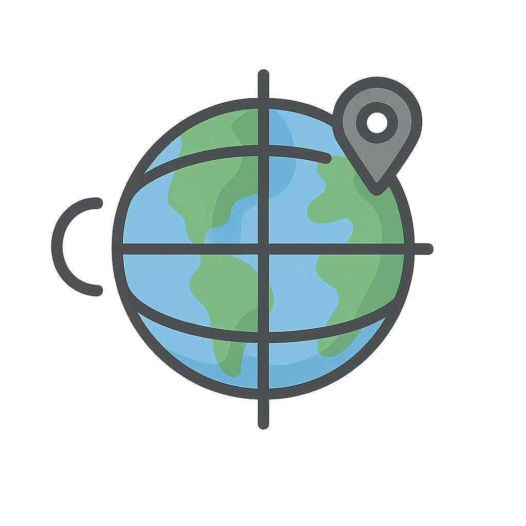
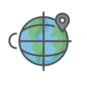
Hi there. I am a secret hug that wraps around the whole wide world. You can't see me, but I am always here. I have lines that go up and down, from the tippy-top of the world to the very bottom. I also have lines that go around the middle, like a big belt. My lines make a giant net with lots of little squares all over the Earth. I am your secret map. My name is Longitude and Latitude.
A long, long, long time ago, big wooden ships sailed on the big blue sea. Splash. The sailors wanted to know where they were going. They looked at the bright, warm sun. They looked at the sparkly, twinkly stars at night. But it was tricky. So they used me to help. My up-and-down lines showed them if they were going east or west. My side-to-side lines showed them if they were going north or south. I helped them draw maps. With my help, the sailors could find new, fun places and always find their way back home to their cozy beds.
Today, I help you too. When your grown-up uses a map on a phone to go to the park, that's me helping. Vroom, vroom. I show them the exact spot to go. Every single place has a special spot on my net. Your house has a spot. The playground has a spot. Even your favorite toy has a spot. I help everyone know just where they are, so we can all go on adventures and always find our way home.
The World's Secret Hug
Hi there. I am a secret hug that wraps around the whole wide world. You can't see me, but I am always here. I have lines that go up and down, from the tippy-top of the world to the very bottom. I also have lines that go around the middle, like a big belt. My lines make a giant net with lots of little squares all over the Earth. I am your secret map. My name is Longitude and Latitude.
A long, long, long time ago, big wooden ships sailed on the big blue sea. Splash. The sailors wanted to know where they were going. They looked at the bright, warm sun. They looked at the sparkly, twinkly stars at night. But it was tricky. So they used me to help. My up-and-down lines showed them if they were going east or west. My side-to-side lines showed them if they were going north or south. I helped them draw maps. With my help, the sailors could find new, fun places and always find their way back home to their cozy beds.
Today, I help you too. When your grown-up uses a map on a phone to go to the park, that's me helping. Vroom, vroom. I show them the exact spot to go. Every single place has a special spot on my net. Your house has a spot. The playground has a spot. Even your favorite toy has a spot. I help everyone know just where they are, so we can all go on adventures and always find our way home.
Wow facts
About
Longitude and Latitude form a geographic coordinate system, an imaginary grid of lines used to specify the exact location of any point on Earth.
Take a Quiz
Question 1 of 3
What do my lines look like?
Explore next



Want to do even more?
Go beyond exploring. Unlock tools that turn every story into real learning.
Storypie Plus for families
Full stories, quizzes, and printables. Nights and car rides, sorted.
- Unlimited audio stories
- Create Mode: your child stars in the story
- Offline downloads
- Printable worksheets & coloring pages

Why Storypie for Schools
Students engaged. Prep in seconds. Evenings back to you.
- Worksheets & Quizzes
- Classroom Management
- Formative Assessment
- Custom Curriculum & Lesson Plans
- 27 Languages
Why Storypie for Homeschool
Curriculum done. They'll ask for more. Hours back in your day.
- Worksheet Generator
- First-Person Audio Stories
- Built-in Comprehension Quizzes
- Custom Curriculum & Lesson Plans
- Print & Go Activities