English

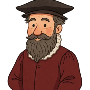
Gerardus Mercator
Gerardus Mercator was a 16th-century cartographer and mathematician from Flanders…
Reads at Grades 6–8 Listens at Grades 4–8
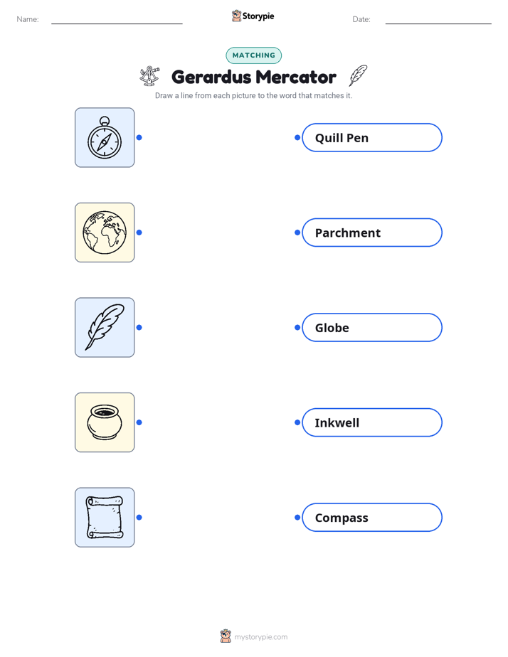
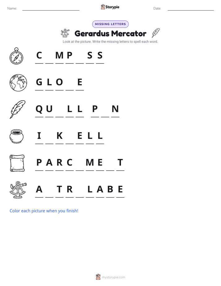
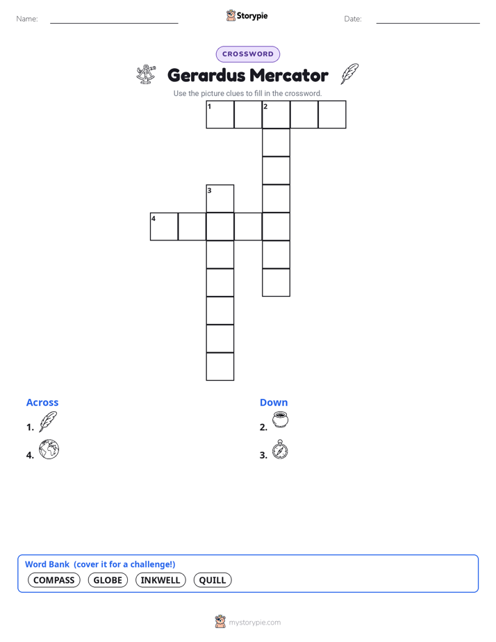
Print & create
Answer keys·No prep·Free with an account
28 worksheets · answer keys · full story · quiz · Ages 10-12 · CEFR B2
Plus adds 244,000+ more stories in 27 languages, audio for every one, and printables for all of them.
Just want Gerardus Mercator?
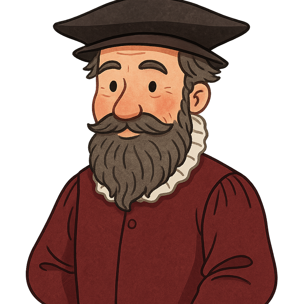
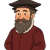
Hello, my name is Gerardus Mercator, and I am a cartographer, which is a person who makes maps. You might know my name from the maps you see online or in classrooms, but my story begins long ago. I was born Gheert Cremer on March 5th, 1512, in a town called Rupelmonde in Flanders, which is now part of Belgium. As I grew older and began my life's work, I chose a new name for myself: Mercator. It is the Latin word for 'merchant,' and I felt it suited my goal of creating tools for trade and travel. From my earliest days, I was filled with a deep curiosity about the world. I loved to draw, but I was most fascinated by geography and mathematics. I wanted to understand the true shape of our planet. Around the year 1530, I enrolled at the University of Louvain. There, I eagerly studied many subjects, but my heart always returned to the challenge of accurately representing the Earth. These studies gave me the tools I would need to map the globe in a way no one had ever done before.
In the 1530s, after my university studies in Louvain, I began my career. I was more than just a person who drew maps; I became a skilled craftsman. I learned to create beautiful and precise scientific instruments, as well as globes that showed the continents and oceans in their spherical form. It was an exciting time of discovery, and I was thrilled to contribute to it. In 1537, I published my very first map, which detailed the ancient land of Palestine. Just one year later, in 1538, I published my first map of the entire world. While making these, I constantly wrestled with the greatest puzzle a cartographer faces: how can you show the curved, round surface of the Earth on a perfectly flat piece of paper? This question became the central focus of my life’s work, and I was determined to find a practical solution.
Gerardus Mercator: Mapping the World
Hello, my name is Gerardus Mercator, and I am a cartographer, which is a person who makes maps. You might know my name from the maps you see online or in classrooms, but my story begins long ago. I was born Gheert Cremer on March 5th, 1512, in a town called Rupelmonde in Flanders, which is now part of Belgium. As I grew older and began my life's work, I chose a new name for myself: Mercator. It is the Latin word for 'merchant,' and I felt it suited my goal of creating tools for trade and travel. From my earliest days, I was filled with a deep curiosity about the world. I loved to draw, but I was most fascinated by geography and mathematics. I wanted to understand the true shape of our planet. Around the year 1530, I enrolled at the University of Louvain. There, I eagerly studied many subjects, but my heart always returned to the challenge of accurately representing the Earth. These studies gave me the tools I would need to map the globe in a way no one had ever done before.
In the 1530s, after my university studies in Louvain, I began my career. I was more than just a person who drew maps; I became a skilled craftsman. I learned to create beautiful and precise scientific instruments, as well as globes that showed the continents and oceans in their spherical form. It was an exciting time of discovery, and I was thrilled to contribute to it. In 1537, I published my very first map, which detailed the ancient land of Palestine. Just one year later, in 1538, I published my first map of the entire world. While making these, I constantly wrestled with the greatest puzzle a cartographer faces: how can you show the curved, round surface of the Earth on a perfectly flat piece of paper? This question became the central focus of my life’s work, and I was determined to find a practical solution.
My work was not without its dangers. In the middle of the 16th century, Europe was a place of intense religious conflict. New ideas, even scientific ones, could be viewed with suspicion. In 1544, I was accused of heresy, which meant holding beliefs that went against the official church. For several months, I was held in prison. It was a terrifying experience that showed me how my freedom to think and create was not guaranteed. Although I was eventually freed, the event left a deep mark on me. I realized that to continue my important work, I needed to find a safer and more tolerant place to live. That is why, in 1552, my family and I moved to the city of Duisburg in the Holy Roman Empire, where I hoped to find the peace and security needed to pursue my ideas.
In Duisburg, I finally had the freedom to tackle the great mapping problem I had been working on for years. My most important breakthrough came in 1569, when I published a new and groundbreaking world map. I created it to solve a very specific problem for sailors. Before my map, navigators on long ocean voyages had to constantly adjust their compass headings to account for the Earth's curve. It was complicated and could lead to dangerous errors. I wanted to create a map where a sailor could draw a single straight line from their starting point to their destination, and that line would represent a true compass bearing they could follow. My solution, which became known as the Mercator projection, involved mathematically 'unrolling' the globe onto a flat surface. This method had a side effect: it stretched the landmasses near the North and South Poles, making them look much larger than they truly are. But for navigators, it was revolutionary. My map changed sea travel forever, making it safer and more predictable.
Toward the end of my life, I began my most ambitious project. I wanted to create a single, comprehensive book that contained maps of the entire known world. It was a massive undertaking, but I believed it was important to gather all of this geographic knowledge into one place. I needed a powerful name for such a collection. I decided to call it an 'Atlas,' naming it after the Titan from Greek mythology who was described as holding the entire heavens on his shoulders. I felt it was a fitting name for a book that would try to contain the whole world within its pages. In 1585, I published the first part of my Atlas. This project became the main focus of the final years of my life, as I worked tirelessly to complete my vision.
I lived a long and full life, passing away on December 2nd, 1594. I lived to be 82 years old. After my death, my son, Rumold, honored my work by completing my great project. He published the full version of my Atlas in 1595. Today, my work continues to influence the world in two major ways. First, the Mercator projection I developed in 1569 is still a foundation for navigation and is widely used for web maps you see on computers and phones. Second, every time you see a book of maps, it is called an 'atlas'—a name I was the first to use. I am proud that my lifelong quest to understand and depict our planet has helped people see and navigate their world for centuries.
Wow facts
About
Gerardus Mercator was a 16th-century cartographer and mathematician from Flanders, best known for creating the 1569 world map based on a new projection which represented sailing courses of constant bearing as straight lines.
Take a Quiz
Question 1 of 5
Describe the main challenge Gerardus Mercator tried to solve with his famous 1569 map and explain his solution.
Explore next
Want to do even more?
Go beyond exploring. Unlock tools that turn every story into real learning.

Storypie Plus for families
Full stories, quizzes, and printables. Nights and car rides, sorted.
- Unlimited audio stories
- Create Mode: your child stars in the story
- Offline downloads
- Printable worksheets & coloring pages

Why Storypie for Schools
Students engaged. Prep in seconds. Evenings back to you.
- Worksheets & Quizzes
- Classroom Management
- Formative Assessment
- Custom Curriculum & Lesson Plans
- 27 Languages

Why Storypie for Homeschool
Curriculum done. They'll ask for more. Hours back in your day.
- Worksheet Generator
- First-Person Audio Stories
- Built-in Comprehension Quizzes
- Custom Curriculum & Lesson Plans
- Print & Go Activities