English

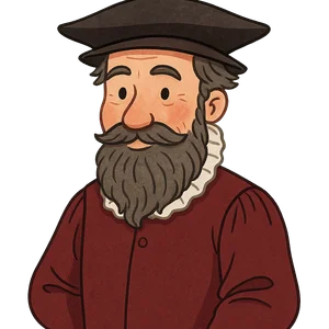
Gerardus Mercator
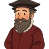
Gerardus Mercator was a 16th-century cartographer and mathematician from Flanders…
Reads at Grades K-2 Listens at K–3
Print & create
Answer keys·No prep·Free with an account
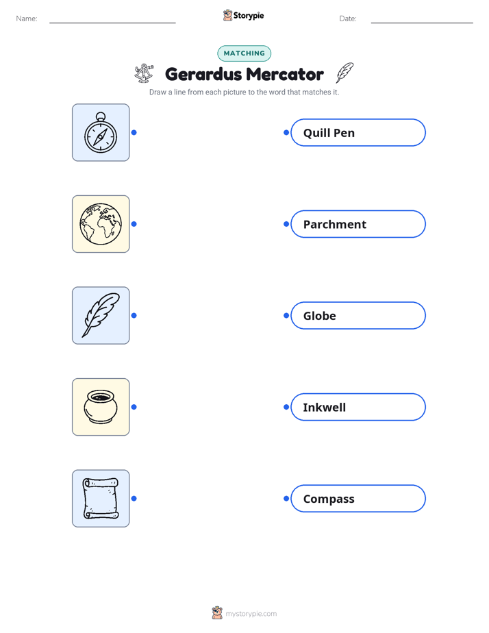
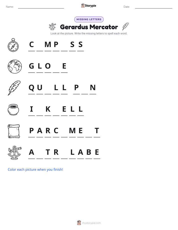
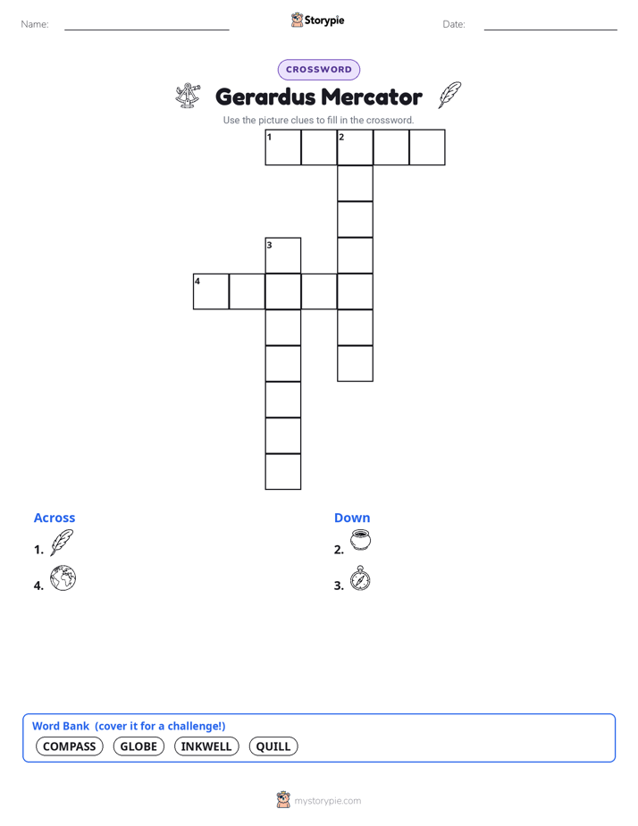
28 worksheets · answer keys · full story · quiz · Ages 6-8 · CEFR A2
Plus adds 244,000+ more stories in 27 languages, audio for every one, and printables for all of them.
Just want Gerardus Mercator?
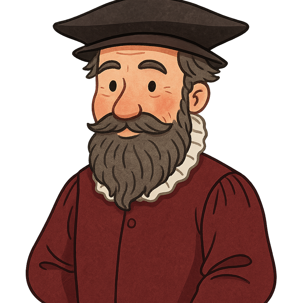
Hello. My name is Gerardus Mercator, and I want to tell you about my love for maps. I was born a very long time ago, on March 5th, 1512, in a town called Rupelmonde. When I was a boy, I loved looking at the stars and drawing pictures of the world around me. I was very curious about all the different places on our big Earth. I dreamed of finding a way to see all of those places at the same time.
When I grew up, I went to a school called the University of Leuven. It was there that I learned how to make special instruments and amazing globes. Have you ever seen a globe? It's like holding the whole world right in your hands. In the 1530s, I worked with my teacher, Gemma Frisius, to create beautiful globes that showed all the continents and oceans. My job was to write all the words on them in beautiful lettering. People had never seen anything quite like them before, and they were very excited.
As I worked, I realized that making a map was very tricky. The Earth is round like a ball, but a map is flat like a piece of paper. If you try to squish a round shape flat, the countries and oceans get stretched and look strange. So, in 1569, I thought of a new way to draw the world. My new map, which people started calling the Mercator projection, had straight lines. This was perfect for sailors. They could draw a straight line from where they were to where they wanted to go and use their ship's compass to follow that line. It helped them travel across the huge oceans safely.
My map was helping sailors, but I had another big idea. I thought, what if I put all the best maps of the world together in one big book? In the 1580s, I started working on this special project. I decided to name it an 'atlas,' after a strong giant from old stories who was said to hold the whole sky on his shoulders. It was a very big job, and I was glad that my son, Rumold, was there to help me finish it.
Gerardus Mercator: The Man Who Mapped the World
Hello. My name is Gerardus Mercator, and I want to tell you about my love for maps. I was born a very long time ago, on March 5th, 1512, in a town called Rupelmonde. When I was a boy, I loved looking at the stars and drawing pictures of the world around me. I was very curious about all the different places on our big Earth. I dreamed of finding a way to see all of those places at the same time.
When I grew up, I went to a school called the University of Leuven. It was there that I learned how to make special instruments and amazing globes. Have you ever seen a globe? It's like holding the whole world right in your hands. In the 1530s, I worked with my teacher, Gemma Frisius, to create beautiful globes that showed all the continents and oceans. My job was to write all the words on them in beautiful lettering. People had never seen anything quite like them before, and they were very excited.
As I worked, I realized that making a map was very tricky. The Earth is round like a ball, but a map is flat like a piece of paper. If you try to squish a round shape flat, the countries and oceans get stretched and look strange. So, in 1569, I thought of a new way to draw the world. My new map, which people started calling the Mercator projection, had straight lines. This was perfect for sailors. They could draw a straight line from where they were to where they wanted to go and use their ship's compass to follow that line. It helped them travel across the huge oceans safely.
My map was helping sailors, but I had another big idea. I thought, what if I put all the best maps of the world together in one big book? In the 1580s, I started working on this special project. I decided to name it an 'atlas,' after a strong giant from old stories who was said to hold the whole sky on his shoulders. It was a very big job, and I was glad that my son, Rumold, was there to help me finish it.
I lived to be 82 years old and passed away on December 2nd, 1594. But my work is still remembered today. When you see a book of maps in your classroom or in a car, it is called an atlas because of the name I chose so long ago. My special map, the Mercator projection, is still used, too. It makes me happy to know that my ideas still help people understand and explore our wonderful planet.
Wow facts
About
Gerardus Mercator was a 16th-century cartographer and mathematician from Flanders, best known for creating the 1569 world map based on a new projection which represented sailing courses of constant bearing as straight lines.
Take a Quiz
Question 1 of 4
Why was Gerardus Mercator's map helpful for sailors?
Explore next

Want to do even more?
Go beyond exploring. Unlock tools that turn every story into real learning.

Storypie Plus for families
Full stories, quizzes, and printables. Nights and car rides, sorted.
- Unlimited audio stories
- Create Mode: your child stars in the story
- Offline downloads
- Printable worksheets & coloring pages

Why Storypie for Schools
Students engaged. Prep in seconds. Evenings back to you.
- Worksheets & Quizzes
- Classroom Management
- Formative Assessment
- Custom Curriculum & Lesson Plans
- 27 Languages

Why Storypie for Homeschool
Curriculum done. They'll ask for more. Hours back in your day.
- Worksheet Generator
- First-Person Audio Stories
- Built-in Comprehension Quizzes
- Custom Curriculum & Lesson Plans
- Print & Go Activities