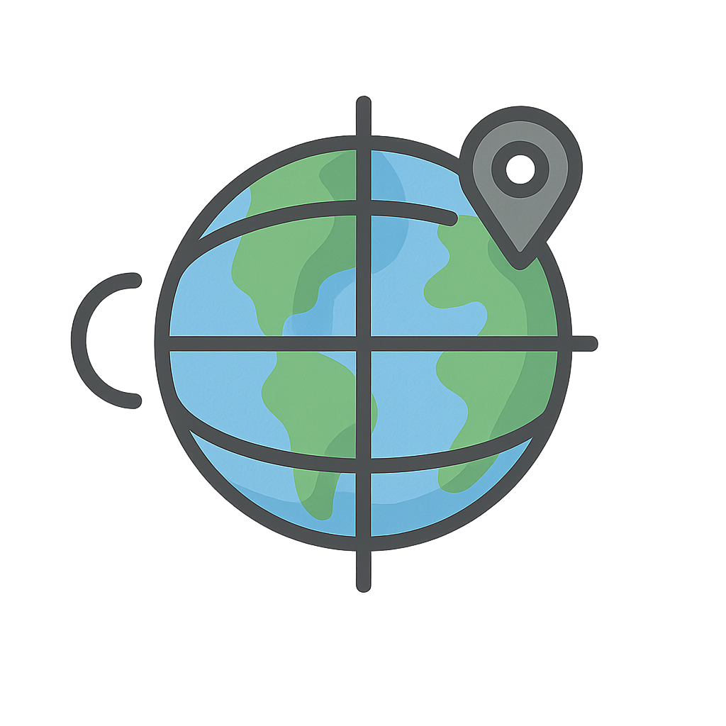
The Earth's Secret Address
Imagine for a moment an invisible net, spun from threads of pure direction, wrapped snugly around the entire Earth. I am that net. I cradle every mountain peak in my weave, hold every deep blue ocean in my grasp, and give every bustling city its own special place in my web. I am a secret code, a universal address for every single spot on the planet, from the highest point of Mount Everest to the quietest corner of your own backyard. For most of human history, people felt my presence without truly understanding me. I was the whisper that told a sailor they were drifting off course, the silent guide that helped a hiker navigate a dense forest, and the unseen map that ensured a traveler would find their way home. People knew there had to be a way to master me, to chart the world and their place within it, but the full secret remained just out of reach. I am the system that prevents chaos, the order that tames the vast, wild world. I am the Earth’s very own global address book, and I am not one thing, but two. Hello. We are Latitude and Longitude.
To understand me, you have to meet my two halves. First, there is Latitude, my calm and steady horizontal lines, which scientists call parallels. You can think of us as a set of cosmic hula hoops circling the Earth, getting smaller and smaller as they approach the North and South Poles. The biggest hoop of all is the famous Equator, which wraps right around the Earth’s belly at 0 degrees, dividing the world into the Northern and Southern Hemispheres. For centuries, Latitude was the easier part of our partnership to figure out. Ancient explorers, like the clever Phoenicians and the brilliant Greek astronomers, learned to measure their latitude by looking at the stars. They noticed that the North Star, Polaris, appeared higher in the sky the farther north they traveled. By measuring its angle above the horizon, they could calculate their distance from the Equator. This was incredibly useful. It told them how far north or south they were, which gave them clues about the climate, the seasons, and the length of the days. But knowing only half of your address isn't enough. You also needed my other, much trickier half: Longitude. We are the vertical lines, the meridians, that run from the chilly North Pole to the icy South Pole, like the segments of a perfectly sliced orange. For hundreds of years, figuring us out was one of the greatest scientific puzzles in the world, a challenge so difficult it became known simply as 'the longitude problem.'
For sailors venturing across the vast, featureless oceans, the longitude problem was a matter of life and death. They could find their latitude, but their longitude—their east-west position—was pure guesswork. A small miscalculation could send a ship crashing into hidden rocks or leave it hopelessly lost at sea for months, its crew running out of food and fresh water. The problem became so critical that on July 8th, 1714, the British government passed the Longitude Act, offering a massive, life-changing prize to anyone who could invent a practical method for determining longitude at sea. Many brilliant astronomers believed the answer was hidden in the complicated movements of the moon and stars, but the true secret wasn't in the sky. It was in time. You see, the Earth spins at a steady rate of 15 degrees per hour. So, if you knew the local time where you were (which you could find using the sun) and you also knew the time at a fixed starting point, you could calculate the time difference between the two locations. That difference would tell you exactly how far east or west you had traveled. The challenge was that clocks in the 18th century were large, clumsy pendulum clocks. They worked fine on solid ground, but the violent rocking of a ship at sea threw their delicate mechanisms completely off. The world needed a new kind of clock, one that could withstand storms, humidity, and temperature changes while keeping perfect time. The hero who stepped forward was not an astronomer, but a humble carpenter and self-taught clockmaker named John Harrison. He dedicated his entire life to this single challenge, building one masterpiece after another. His first marine chronometer, H1, was a marvel of brass and springs. He followed it with H2 and H3, each one an improvement. Finally, around 1759, he completed H4, a beautiful timekeeper that looked like a large pocket watch. It was tested on a voyage to Jamaica and worked flawlessly, losing only a few seconds over many weeks. John Harrison’s genius had finally solved the puzzle and given sailors the key to unlocking my secret.
With the longitude problem solved, the world could finally create a complete and unified map. Nations agreed on a single starting line for longitude, a meridian that would be designated as 0 degrees. This line, called the Prime Meridian, runs through the Royal Observatory in Greenwich, England, in honor of the place where so much of the foundational work was done. Now, with both of my halves working together, every single spot on Earth has a unique coordinate, a precise address made of one latitude number and one longitude number. I am no longer a mysterious puzzle but a fundamental tool of the modern world. I am the invisible force behind the Global Positioning System, or GPS. When you use a map on a phone to get directions, when a scientist tracks the path of a powerful hurricane, or when an airplane navigates flawlessly across an ocean at night, it’s us—Latitude and Longitude—doing the quiet work in the background. I am a universal language that connects everyone on the planet, a shared grid that gives us all a place to belong. I empower you to explore, to discover, and to always find your way home. In fact, I am with you right now, giving you a special spot in the world that belongs only to you. What are your coordinates?
Activities
Take a Quiz
Test what you learned with a fun quiz!
Get creative with colors!
Print a coloring book page of this topic.