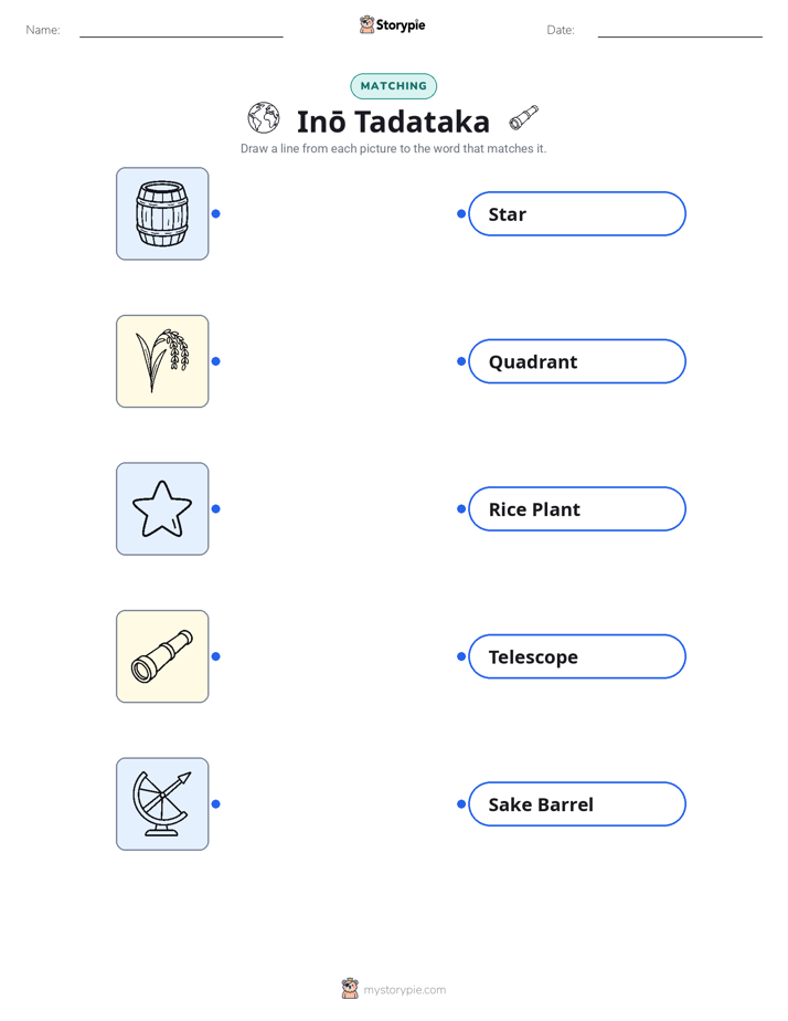
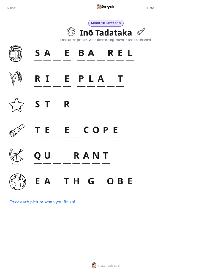
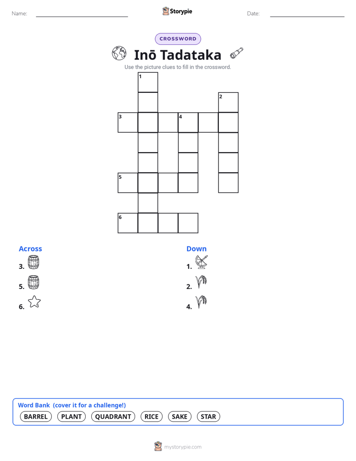
English

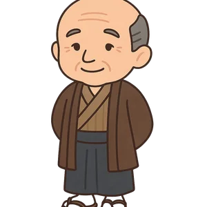
Inō Tadataka
A Japanese surveyor and cartographer from the Edo period who is credited with creating the first modern…
Reads at Grades 6–8 Listens at Grades 4–8
Print & create
Answer keys·No prep·Free with an account
28 worksheets · answer keys · full story · quiz · Ages 10-12 · CEFR B2
Plus adds 164,000+ more stories in 27 languages, audio for every one, and printables for all of them.
Just want Inō Tadataka?
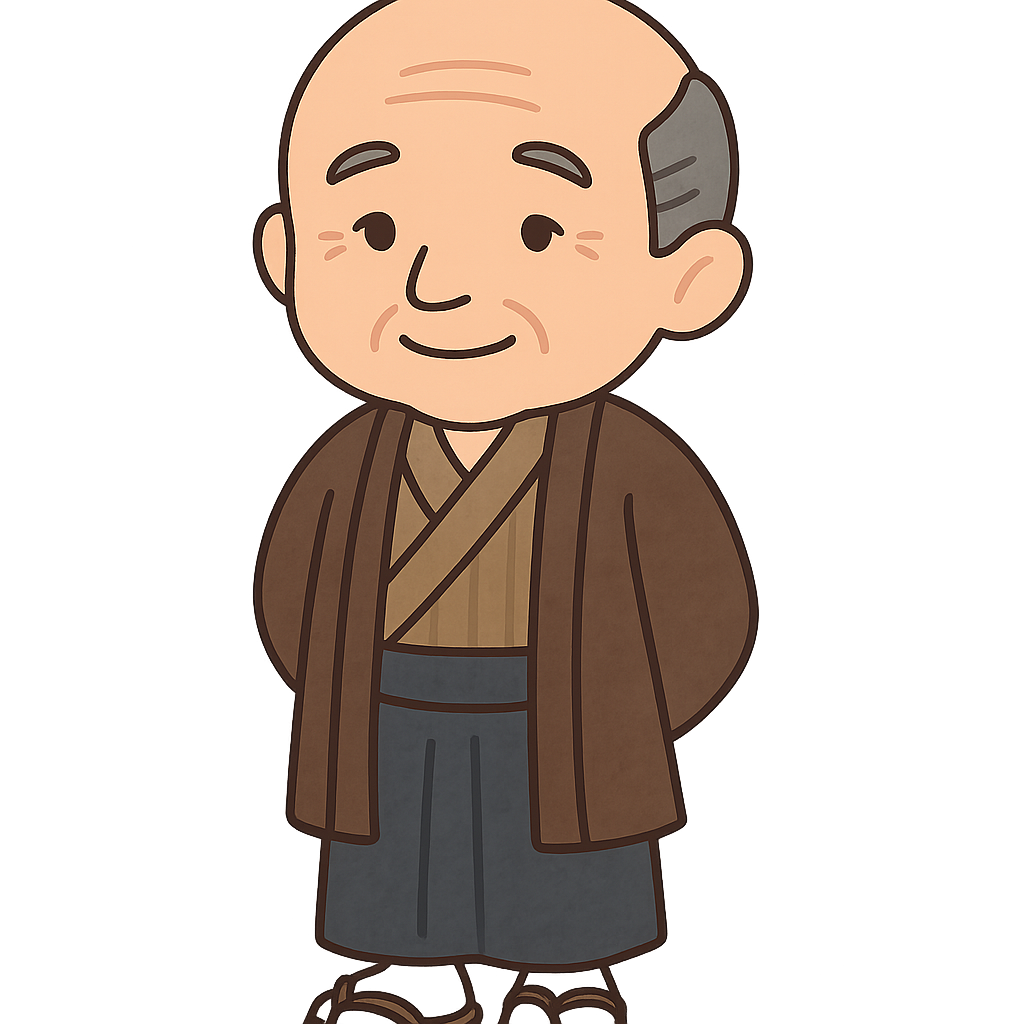
Hello. My name is Inō Tadataka, and I am known today as the man who walked across Japan to create its first modern map. But my journey to becoming a cartographer didn't begin with maps or grand adventures. I was born on February 11th, 1745, and given the name Sanjirō Kageyori. My life took a significant turn in 1762 when, as a teenager, I was adopted into the prominent Inō family. They were successful brewers of sake, a traditional Japanese rice wine, and I was expected to carry on that legacy. I dedicated myself to the family business, working diligently to expand its success. I also took my role in the community seriously, helping to manage a famine and ensure people had enough food. However, even as I managed ledgers and oversaw production, my mind often drifted to the sky. I held a deep fascination for the stars, for mathematics, and for the precise order of the universe.
In 1795, at the age of 50, I made a decision that shocked many people who knew me as a successful businessman. I retired. I passed the thriving family business to my son and moved to the bustling city of Edo, which you now know as Tokyo. My goal was not to live a quiet life of leisure, but to finally pursue the passion I had held for so long: the study of astronomy. I sought out the most brilliant astronomer in the land, Takahashi Yoshitoki, who worked for the government. It didn't matter to me that he was nearly twenty years younger than I was; I eagerly became his student. Under his guidance, I dove into a new world of knowledge. I studied Western science, advanced mathematics, and learned to use complex instruments like telescopes and quadrants to measure the precise positions of celestial bodies. It was a new beginning for me, proving that a new dream can start at any age.
Inō Tadataka: The Man Who Walked a Nation
Hello. My name is Inō Tadataka, and I am known today as the man who walked across Japan to create its first modern map. But my journey to becoming a cartographer didn't begin with maps or grand adventures. I was born on February 11th, 1745, and given the name Sanjirō Kageyori. My life took a significant turn in 1762 when, as a teenager, I was adopted into the prominent Inō family. They were successful brewers of sake, a traditional Japanese rice wine, and I was expected to carry on that legacy. I dedicated myself to the family business, working diligently to expand its success. I also took my role in the community seriously, helping to manage a famine and ensure people had enough food. However, even as I managed ledgers and oversaw production, my mind often drifted to the sky. I held a deep fascination for the stars, for mathematics, and for the precise order of the universe.
In 1795, at the age of 50, I made a decision that shocked many people who knew me as a successful businessman. I retired. I passed the thriving family business to my son and moved to the bustling city of Edo, which you now know as Tokyo. My goal was not to live a quiet life of leisure, but to finally pursue the passion I had held for so long: the study of astronomy. I sought out the most brilliant astronomer in the land, Takahashi Yoshitoki, who worked for the government. It didn't matter to me that he was nearly twenty years younger than I was; I eagerly became his student. Under his guidance, I dove into a new world of knowledge. I studied Western science, advanced mathematics, and learned to use complex instruments like telescopes and quadrants to measure the precise positions of celestial bodies. It was a new beginning for me, proving that a new dream can start at any age.
My astronomical studies eventually sparked an ambitious idea. I wanted to accurately calculate the size of the Earth, a monumental scientific task. To do this, I needed to measure the length of one degree of the Earth's meridian arc. I realized I could accomplish this by conducting a detailed survey of the land. I presented a proposal to the government: I would create a complete and accurate map of Japan's entire coastline. It was a project of enormous scale that no one had ever attempted, and I even offered to pay for most of it myself. In 1800, at the age of 55, my grand adventure began. For the next seventeen years, my team and I walked the length of Japan. Our methods were meticulous. We carefully counted our steps to measure distance, used heavy measuring chains for precision, and at night, we would make astronomical observations to fix our exact latitude. We faced countless challenges, from treacherous mountain paths and dense forests to raging storms and bitter winters. But we persevered, and in 1816, our long journey on foot was finally complete.
After seventeen years of constant travel, the physical survey was finished, but my life's work was not yet done. In 1816, I returned to Edo, carrying with me thousands of pages of data, measurements, and sketches. Now came the enormous task of transforming all of that information into a set of maps. My team and I worked tirelessly in our workshop. We began drawing a series of large-scale maps of each region, capturing every bay, peninsula, and island with unprecedented detail. From these, we also compiled a smaller-scale map of the entire nation. Seeing the shape of my country emerge on paper, drawn from our own footsteps and calculations, filled me with an immense sense of pride. I knew we were creating something that would last, a true portrait of Japan. I poured all of my final energy into this project, knowing my time was limited and wanting to see it through.
I lived to be 73 years old, passing away in Edo in 1818, just before the final maps were officially completed. My dedicated students, who had shared my long journey, took on the responsibility of adding the finishing touches. In 1821, they presented the finished masterpiece, titled the 'Dai Nihon Enkai Yochi Zenzu' or 'Maps of Japan's Coastal Area,' to the government. The maps were so accurate that they became the primary maps used in Japan for nearly a century, guiding everything from trade to administration. Today, I am remembered not just for the maps I made, but as proof that you are never too old to chase a new dream, to learn something new, and to leave your mark on the world.
Wow facts
About
A Japanese surveyor and cartographer from the Edo period who is credited with creating the first modern, accurate map of Japan. He began his life's work after retiring from business at the age of 49.
Take a Quiz
Question 1 of 5
What is the main theme of Inō Tadataka's life story?
Explore next




Want to do even more?
Go beyond exploring. Unlock tools that turn every story into real learning.

Storypie Plus for families
Full stories, quizzes, and printables. Nights and car rides, sorted.
- Unlimited audio stories
- Create Mode: your child stars in the story
- Offline downloads
- Printable worksheets & coloring pages

Why Storypie for Schools
Students engaged. Prep in seconds. Evenings back to you.
- Worksheets & Quizzes
- Classroom Management
- Formative Assessment
- Custom Curriculum & Lesson Plans
- 27 Languages

Why Storypie for Homeschool
Curriculum done. They'll ask for more. Hours back in your day.
- Worksheet Generator
- First-Person Audio Stories
- Built-in Comprehension Quizzes
- Custom Curriculum & Lesson Plans
- Print & Go Activities