English

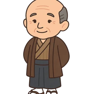
Inō Tadataka
A Japanese surveyor and cartographer from the Edo period who is credited with creating the first modern…
Reads at Grades 3–5 Listens at Grades 1–5
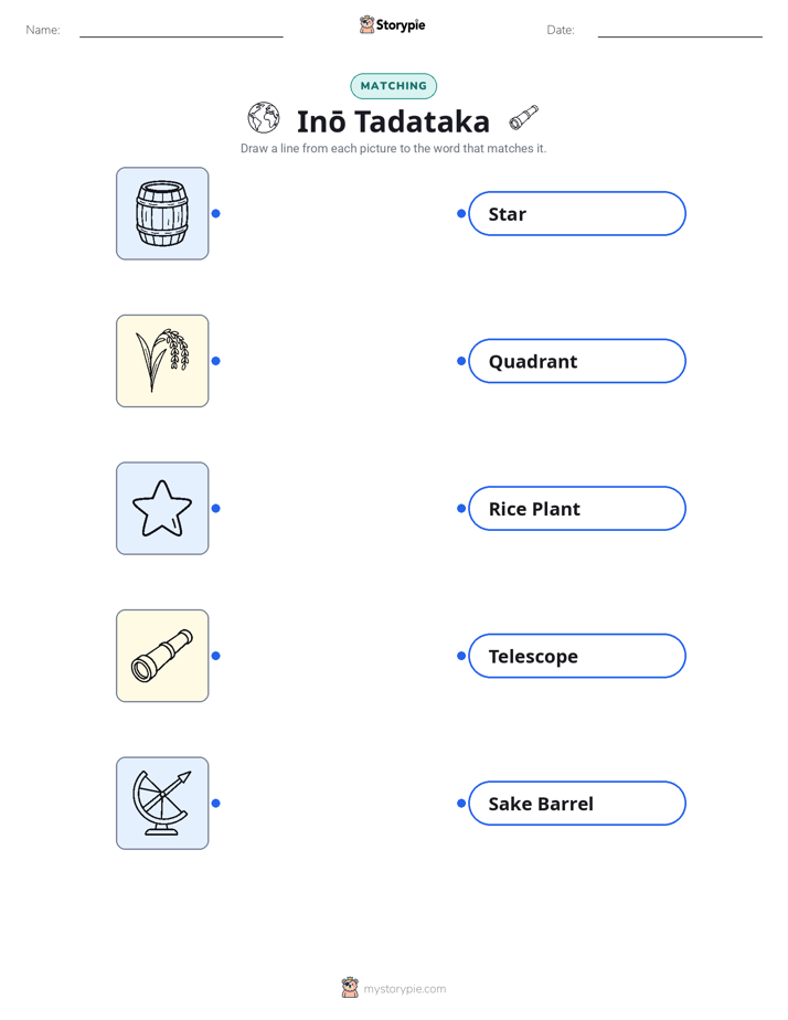
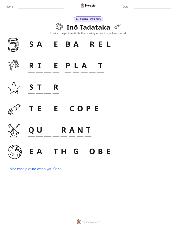
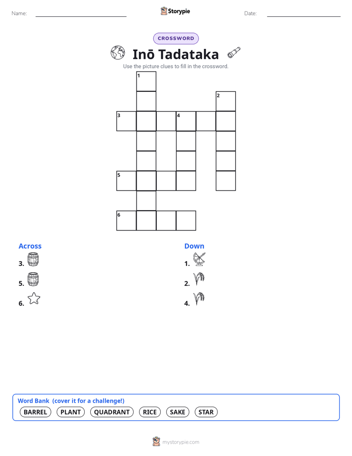
Print & create
Answer keys·No prep·Free with an account
28 worksheets · answer keys · full story · quiz · Ages 8-10 · CEFR B1
Plus adds 164,000+ more stories in 27 languages, audio for every one, and printables for all of them.
Just want Inō Tadataka?
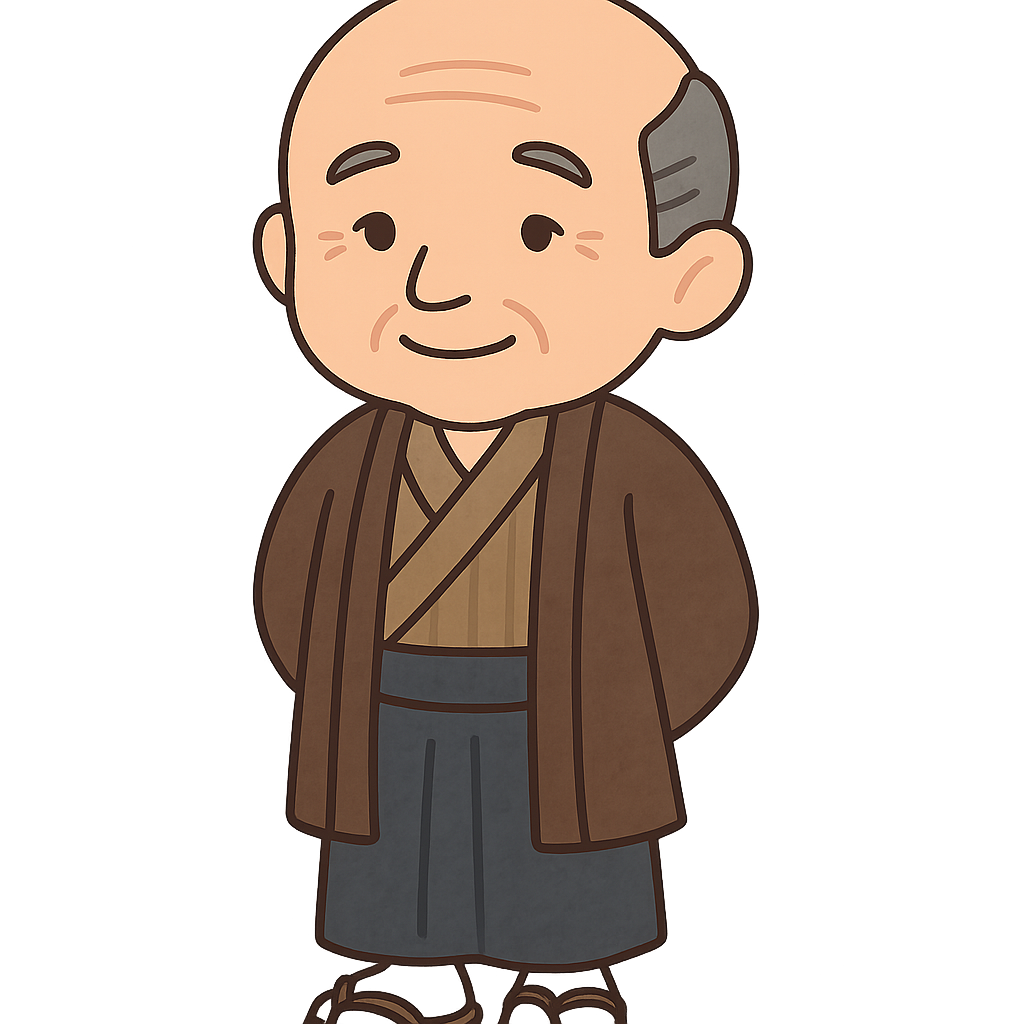
Hello! My name is Inō Tadataka. I was born on February 11th, 1745, in Japan. For most of my life, I was not an explorer or a mapmaker. I was a businessman, and I spent many years running my family’s sake brewery. Life was busy, but deep down, I always had a love for learning. When I turned 50 years old, in 1795, I decided it was time for a change. I retired from my business and moved to the big city of Edo, which you now know as Tokyo. I went there to follow a passion I had held since I was a boy: studying the stars and figuring out the true size of the Earth.
In Edo, I became a student of a famous astronomer named Takahashi Yoshitoki. It was a little unusual because I was much older than all the other students in his school, but that didn't bother me at all. I was excited to learn everything I could about astronomy, geography, and mathematics. The more I studied, the more a big question grew in my mind: how big is our country of Japan, really? No one had ever made a completely correct map of the entire nation. I realized that if I wanted to know the answer, I would have to measure it myself, one step at a time.
My great journey finally began in the year 1800, when I was 55 years old. The government gave me permission to travel and begin my survey. This was the start of an incredible adventure that would last for 17 years! I put together a team of surveyors, and together we set out to walk almost the entire coastline of Japan. It was very careful work. During the day, we used special tools to measure distances and the angles of the land. At night, we would look to the stars, using them as our guide to make sure our measurements were as precise as possible. The journey was not easy. We faced powerful storms, climbed over difficult mountains, and walked for so many long, tiring days. But I was determined to create the first truly accurate map of my homeland for the people of Japan.
Inō Tadataka: The Man Who Mapped Japan
Hello! My name is Inō Tadataka. I was born on February 11th, 1745, in Japan. For most of my life, I was not an explorer or a mapmaker. I was a businessman, and I spent many years running my family’s sake brewery. Life was busy, but deep down, I always had a love for learning. When I turned 50 years old, in 1795, I decided it was time for a change. I retired from my business and moved to the big city of Edo, which you now know as Tokyo. I went there to follow a passion I had held since I was a boy: studying the stars and figuring out the true size of the Earth.
In Edo, I became a student of a famous astronomer named Takahashi Yoshitoki. It was a little unusual because I was much older than all the other students in his school, but that didn't bother me at all. I was excited to learn everything I could about astronomy, geography, and mathematics. The more I studied, the more a big question grew in my mind: how big is our country of Japan, really? No one had ever made a completely correct map of the entire nation. I realized that if I wanted to know the answer, I would have to measure it myself, one step at a time.
My great journey finally began in the year 1800, when I was 55 years old. The government gave me permission to travel and begin my survey. This was the start of an incredible adventure that would last for 17 years! I put together a team of surveyors, and together we set out to walk almost the entire coastline of Japan. It was very careful work. During the day, we used special tools to measure distances and the angles of the land. At night, we would look to the stars, using them as our guide to make sure our measurements were as precise as possible. The journey was not easy. We faced powerful storms, climbed over difficult mountains, and walked for so many long, tiring days. But I was determined to create the first truly accurate map of my homeland for the people of Japan.
After 17 years of traveling and measuring, I finally returned to Edo. I brought back stacks and stacks of notebooks filled with data, numbers, and observations. Now the next phase of the hard work began: turning all of that information into a beautiful and detailed map. I worked on this enormous project for the rest of my life, carefully drawing every river, mountain, and bit of coastline. Sadly, I passed away in 1818, before the final version of the map was complete. But my story didn't end there. My dedicated students, who had worked with me for so long, took all of my notes and finished my work. They completed the great map in 1821, making my dream a reality.
I lived to be 73 years old. The map my team and I created was called the 'Dai Nihon Enkai Yochi Zenzu'. It was so accurate that it was the main map used in Japan for almost 100 years. Today, people remember me as the man who walked across Japan to map it for the very first time. I hope my story shows you that it is never too late to learn something new or to follow a big dream, no matter how old you are.
Wow facts
About
A Japanese surveyor and cartographer from the Edo period who is credited with creating the first modern, accurate map of Japan. He began his life's work after retiring from business at the age of 49.
Take a Quiz
Question 1 of 5
In the story, I said I was 'determined to create the first truly accurate map.' What does the word 'determined' mean here?
Explore next





Want to do even more?
Go beyond exploring. Unlock tools that turn every story into real learning.

Storypie Plus for families
Full stories, quizzes, and printables. Nights and car rides, sorted.
- Unlimited audio stories
- Create Mode: your child stars in the story
- Offline downloads
- Printable worksheets & coloring pages

Why Storypie for Schools
Students engaged. Prep in seconds. Evenings back to you.
- Worksheets & Quizzes
- Classroom Management
- Formative Assessment
- Custom Curriculum & Lesson Plans
- 27 Languages

Why Storypie for Homeschool
Curriculum done. They'll ask for more. Hours back in your day.
- Worksheet Generator
- First-Person Audio Stories
- Built-in Comprehension Quizzes
- Custom Curriculum & Lesson Plans
- Print & Go Activities