English


Marie Tharp
Marie Tharp was an American geologist and oceanographic cartographer who co-created the first scientific map…
Reads at Grades 6–8 Listens at Grades 4–8
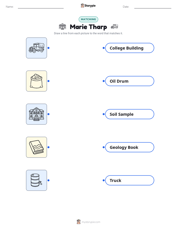
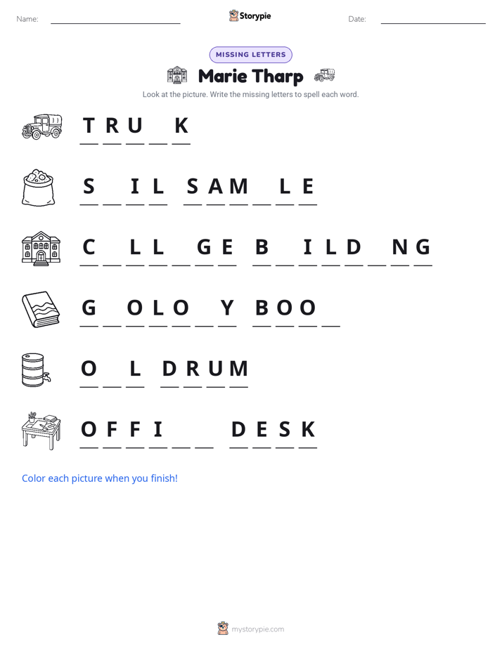
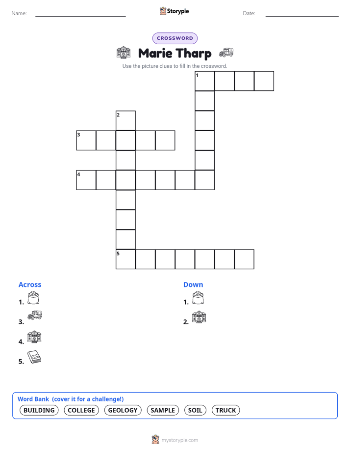
Print & create
Answer keys·No prep·Free with an account
28 worksheets · answer keys · full story · quiz · Ages 10-12 · CEFR B2
Plus adds 208,000+ more stories in 27 languages, audio for every one, and printables for all of them.
Just want Marie Tharp?
Hello! My name is Marie Tharp, and I'm the person who drew the first complete map of the ocean floor. My story begins on July 30th, 1920, in Ypsilanti, Michigan. My father, William, worked for the government making maps of soil. Because of his job, my family moved all the time, but I didn't mind because I got to be his helper. I would sit beside him in his truck, holding the maps steady as he drew. Watching him turn patches of dirt and clay into a detailed picture of the land felt like magic. I didn't know it then, but those days spent exploring with my dad planted a seed in my mind: a love for maps and for understanding the world beneath our feet.
When I went to college at Ohio University in 1943, becoming a scientist wasn't a common path for women. I studied music and English, but my heart was still drawn to the Earth. A major event, the attack on Pearl Harbor in 1941, changed many things, including creating opportunities for women in fields that men had left to go to war. I seized this chance and earned a master's degree in geology from the University of Michigan in 1944. After that, I worked for an oil company in Oklahoma, but I wanted to do more. I wanted to be part of the big, exciting discoveries happening in science. So, in 1948, I packed my bags and moved to New York City, hoping to find a job where I could use my skills to uncover something new about our planet.
In New York, I found a job at Columbia University's Lamont Geological Observatory. It was an amazing place, full of brilliant scientists. I began working with a geologist named Bruce Heezen. His job was to sail on ships and collect data about the ocean floor using a new technology called sonar, which used sound to measure depth. In those days, women were not allowed on research ships—people thought it was bad luck. So, while Bruce was out at sea, my job was to stay in the office and turn his endless lists of numbers into pictures. I would take thousands of depth measurements and carefully plot them on charts. It was slow, detailed work, but as I drew, a hidden landscape began to appear right before my eyes.
Marie Tharp: The Woman Who Mapped the Ocean Floor
Hello! My name is Marie Tharp, and I'm the person who drew the first complete map of the ocean floor. My story begins on July 30th, 1920, in Ypsilanti, Michigan. My father, William, worked for the government making maps of soil. Because of his job, my family moved all the time, but I didn't mind because I got to be his helper. I would sit beside him in his truck, holding the maps steady as he drew. Watching him turn patches of dirt and clay into a detailed picture of the land felt like magic. I didn't know it then, but those days spent exploring with my dad planted a seed in my mind: a love for maps and for understanding the world beneath our feet.
When I went to college at Ohio University in 1943, becoming a scientist wasn't a common path for women. I studied music and English, but my heart was still drawn to the Earth. A major event, the attack on Pearl Harbor in 1941, changed many things, including creating opportunities for women in fields that men had left to go to war. I seized this chance and earned a master's degree in geology from the University of Michigan in 1944. After that, I worked for an oil company in Oklahoma, but I wanted to do more. I wanted to be part of the big, exciting discoveries happening in science. So, in 1948, I packed my bags and moved to New York City, hoping to find a job where I could use my skills to uncover something new about our planet.
In New York, I found a job at Columbia University's Lamont Geological Observatory. It was an amazing place, full of brilliant scientists. I began working with a geologist named Bruce Heezen. His job was to sail on ships and collect data about the ocean floor using a new technology called sonar, which used sound to measure depth. In those days, women were not allowed on research ships—people thought it was bad luck. So, while Bruce was out at sea, my job was to stay in the office and turn his endless lists of numbers into pictures. I would take thousands of depth measurements and carefully plot them on charts. It was slow, detailed work, but as I drew, a hidden landscape began to appear right before my eyes.
For months, I drew profiles of the Atlantic Ocean floor. As I mapped a long underwater mountain range known as the Mid-Atlantic Ridge, I noticed something no one had seen before. Running right down the center of the ridge was a deep V-shaped valley, or a cleft. I looked at my other profiles, and there it was again and again. In 1952, I had a sudden thought: this must be a rift valley, a place where the Earth's crust was pulling apart. This was a huge idea. It suggested that the continents might actually be drifting away from each other. I showed my findings to Bruce, but at first, he was very skeptical. He famously dismissed it as 'girl talk' and told me to re-do my work. I was disappointed, but I knew I was onto something important, so I kept looking for more evidence.
I needed more proof. I had an idea to compare my maps with maps that showed where earthquakes happened. I knew that another scientist at Lamont was mapping earthquake locations in the ocean. When we laid his map over mine, the results were stunning. The earthquake epicenters lined up perfectly inside the rift valley I had discovered. This was the proof we needed. When Bruce saw the perfect match, he knew I had been right all along. My discovery provided some of the very first strong evidence for the new and controversial theories of continental drift and plate tectonics—the idea that the Earth's surface is made of giant plates that are constantly moving.
Together, Bruce and I continued our work, mapping more and more of the ocean. In 1957, we published our first map showing the floor of the North Atlantic. It was a sensation. For the first time, people could see the enormous mountain ranges, canyons, and plains that were hidden beneath the waves. We didn't stop there. We spent the next two decades piecing together data from all the oceans on Earth. Finally, in 1977, we published the 'World Ocean Floor' map. It was a masterpiece that revealed the entire hidden half of our planet and changed geology forever. Our map became a vital tool for scientists, teachers, and anyone curious about the Earth.
Even though I never went on a research ship to collect the data myself, I was able to see the world in a way no one else had. My work helped prove one of the most important scientific theories of the 20th century. I lived to be 86 years old, and in my later years, I finally received awards and recognition for my discoveries. Today, when you see a map of the ocean floor, you are seeing the world that I helped reveal. I hope my story shows you that curiosity, patience, and believing in your own observations can lead you to discover whole new worlds.
Wow facts
About
Marie Tharp was an American geologist and oceanographic cartographer who co-created the first scientific map of the entire ocean floor. Her groundbreaking work revealed the Mid-Atlantic Ridge and provided crucial evidence for the theories of plate tectonics and continental drift.
Take a Quiz
Question 1 of 5
What was the central problem Marie Tharp faced after discovering the rift valley in 1952, and how did she resolve it?
Explore next




Want to do even more?
Go beyond exploring. Unlock tools that turn every story into real learning.

Storypie Plus for families
Full stories, quizzes, and printables. Nights and car rides, sorted.
- Unlimited audio stories
- Create Mode: your child stars in the story
- Offline downloads
- Printable worksheets & coloring pages

Why Storypie for Schools
Students engaged. Prep in seconds. Evenings back to you.
- Worksheets & Quizzes
- Classroom Management
- Formative Assessment
- Custom Curriculum & Lesson Plans
- 27 Languages

Why Storypie for Homeschool
Curriculum done. They'll ask for more. Hours back in your day.
- Worksheet Generator
- First-Person Audio Stories
- Built-in Comprehension Quizzes
- Custom Curriculum & Lesson Plans
- Print & Go Activities