English


Marie Tharp
Marie Tharp was an American geologist and oceanographic cartographer who co-created the first scientific map…
Reads at Grades 3–5 Listens at Grades 1–5
Print & create
Answer keys·No prep·Free with an account
28 worksheets · answer keys · full story · quiz · Ages 8-10 · CEFR B1
Plus adds 208,000+ more stories in 27 languages, audio for every one, and printables for all of them.
Just want Marie Tharp?
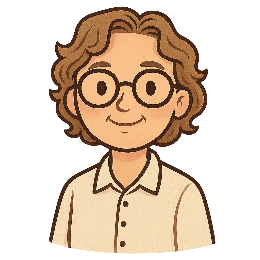
Hello, my name is Marie Tharp, and I'd like to tell you how I created the very first map of the entire ocean floor. I was born on July 30th, 1920, in Ypsilanti, Michigan. My father, William, was a map-maker for the United States government, which meant our family moved around a lot. I was always fascinated by his work. I would watch him draw and I loved helping him color in the maps. It felt like we were bringing the whole world to life right there on a piece of paper. In those days, it was not common for girls to become scientists, but I knew from a young age that I wanted to spend my life uncovering the world's hidden secrets.
When I was old enough for college, a major world event called World War II was underway. With so many men away fighting, new jobs and opportunities in science began to open up for women. I decided to study geology, which is the science of learning about the Earth. In 1944, I earned my master's degree from the University of Michigan, and I couldn't wait to start my career. A few years later, in 1948, I found a job at a very important research center in New York called the Lamont Geological Laboratory, which was part of Columbia University. This was the place where my greatest adventure would truly begin.
At Lamont, I was paired with a scientist named Bruce Heezen. His job was to travel on large ships far out into the ocean. He used a special tool called sonar, which sends sound waves down to the seabed to measure how deep the water is. My job was to take all of the depth numbers he collected and turn them into a picture. At that time, women were not allowed to go on the research ships, so I had to stay behind in the office. It was like I was putting together a giant, underwater connect-the-dots puzzle. I carefully plotted each measurement on my charts, and slowly, the hidden mountains and valleys beneath the waves began to appear. For the first time, we were starting to see what the ocean floor really looked like.
Marie Tharp: The Woman Who Mapped the Ocean Floor
Hello, my name is Marie Tharp, and I'd like to tell you how I created the very first map of the entire ocean floor. I was born on July 30th, 1920, in Ypsilanti, Michigan. My father, William, was a map-maker for the United States government, which meant our family moved around a lot. I was always fascinated by his work. I would watch him draw and I loved helping him color in the maps. It felt like we were bringing the whole world to life right there on a piece of paper. In those days, it was not common for girls to become scientists, but I knew from a young age that I wanted to spend my life uncovering the world's hidden secrets.
When I was old enough for college, a major world event called World War II was underway. With so many men away fighting, new jobs and opportunities in science began to open up for women. I decided to study geology, which is the science of learning about the Earth. In 1944, I earned my master's degree from the University of Michigan, and I couldn't wait to start my career. A few years later, in 1948, I found a job at a very important research center in New York called the Lamont Geological Laboratory, which was part of Columbia University. This was the place where my greatest adventure would truly begin.
At Lamont, I was paired with a scientist named Bruce Heezen. His job was to travel on large ships far out into the ocean. He used a special tool called sonar, which sends sound waves down to the seabed to measure how deep the water is. My job was to take all of the depth numbers he collected and turn them into a picture. At that time, women were not allowed to go on the research ships, so I had to stay behind in the office. It was like I was putting together a giant, underwater connect-the-dots puzzle. I carefully plotted each measurement on my charts, and slowly, the hidden mountains and valleys beneath the waves began to appear. For the first time, we were starting to see what the ocean floor really looked like.
Then, one day in 1952, while I was drawing a map of the Atlantic Ocean, I noticed something incredible. A massive mountain range ran right down the middle of the ocean. But what was truly amazing was the deep valley, or 'rift,' that cut straight through the center of the mountains. I realized this must be a place where the Earth's crust was pulling apart. This was a huge discovery because it helped prove an old idea called 'continental drift'—the theory that the Earth's continents are slowly moving. At first, Bruce didn't believe me. But I kept mapping, and when we laid my map of the rift valley next to maps of underwater earthquakes, they lined up perfectly. He finally knew I was right. We published our first map of the North Atlantic Ocean in 1957.
Bruce and I continued to work together for many more years, mapping one ocean after another. It was a long and difficult project, but we were determined to finish. Finally, in 1977, our masterpiece was complete. With the help of a talented painter named Heinrich Berann, who painted the landscape over our map lines, we published the first-ever complete map of the entire world's ocean floor. For the very first time, everyone could see the beautiful and rugged landscape that was hidden beneath all that water—giant mountains, deep trenches, and long, winding ridges that circled the globe.
My work helped change the way we all see our planet. I lived to be 86 years old, and my maps are still used by scientists today to understand the Earth. I hope my story shows you that if you stay curious and trust in your work, you can discover incredible things about our world.
Wow facts
About
Marie Tharp was an American geologist and oceanographic cartographer who co-created the first scientific map of the entire ocean floor. Her groundbreaking work revealed the Mid-Atlantic Ridge and provided crucial evidence for the theories of plate tectonics and continental drift.
Take a Quiz
Question 1 of 5
Why wasn't Marie Tharp able to go on the research ships to collect data?
Explore next



Want to do even more?
Go beyond exploring. Unlock tools that turn every story into real learning.

Storypie Plus for families
Full stories, quizzes, and printables. Nights and car rides, sorted.
- Unlimited audio stories
- Create Mode: your child stars in the story
- Offline downloads
- Printable worksheets & coloring pages

Why Storypie for Schools
Students engaged. Prep in seconds. Evenings back to you.
- Worksheets & Quizzes
- Classroom Management
- Formative Assessment
- Custom Curriculum & Lesson Plans
- 27 Languages

Why Storypie for Homeschool
Curriculum done. They'll ask for more. Hours back in your day.
- Worksheet Generator
- First-Person Audio Stories
- Built-in Comprehension Quizzes
- Custom Curriculum & Lesson Plans
- Print & Go Activities