English

Equator
The Equator is an imaginary line on the Earth's surface, equidistant from the North and South Poles…
Reads at Grades K-2 Listens at K–3
 Screen-free speaker. Built for your kids.
No card, no commitment. One email when there is real news, and one click to stop.
Print & create
Answer keys·No prep·Free with an account
28 worksheets · answer keys · full story · quiz · Ages 6-8 · CEFR A2
Plus adds 102,000+ more stories in 27 languages, audio for every one, and printables for all of them.
Just want Equator?
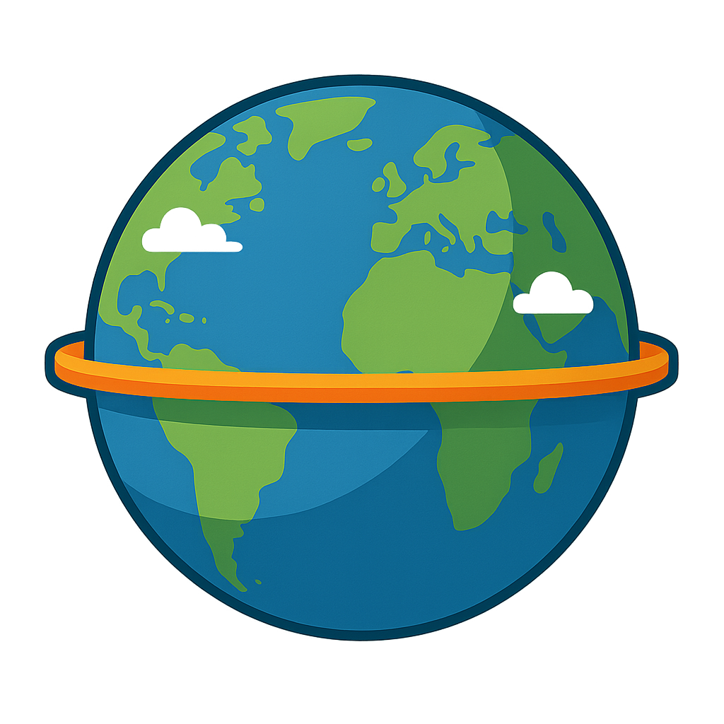
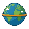
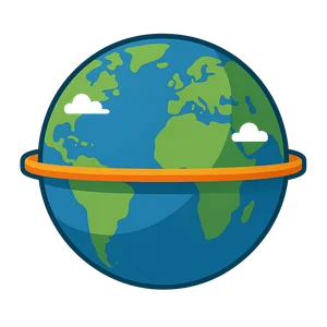
Hello there! Can you keep a secret? I’m invisible, but I’m one of the most important lines in the whole world. Imagine the Earth is a giant spinning top. I am a pretend belt wrapped right around its roundest part, its tummy! I stretch all the way around, crossing oceans and jungles and even a few mountaintops. Where I am, the sun shines brightest, making the days and nights almost the same length all year long. It’s always warm and cozy, which is why so many colorful birds, chattering monkeys, and giant rainforests love to live near me. I split the world perfectly in two: the top half, called the Northern Hemisphere, and the bottom half, the Southern Hemisphere. So, who am I? I am the Equator!
For a very long time, people didn’t know I was here. They sailed the seas and walked the land, but they couldn’t see me. Then, thousands of years ago, around 500 BCE, some very clever thinkers in ancient Greece realized the Earth was a big sphere. They imagined lines like me to help them understand it. One of the smartest was a man named Eratosthenes. Around the year 240 BCE, he used shadows and math to figure out how big the Earth was! His work helped everyone understand that a line like me must exist right in the middle. Hundreds of years later, brave explorers in big ships noticed something funny. As they sailed closer to me, the North Star would get lower and lower in the sky. And on certain days of the year, the sun was directly over their heads at noon. They knew they had crossed me! Then, in the year 1736, scientists traveled all the way to South America to measure the land and sky to prove exactly where I was.
The Earth's Invisible Belt
Hello there! Can you keep a secret? I’m invisible, but I’m one of the most important lines in the whole world. Imagine the Earth is a giant spinning top. I am a pretend belt wrapped right around its roundest part, its tummy! I stretch all the way around, crossing oceans and jungles and even a few mountaintops. Where I am, the sun shines brightest, making the days and nights almost the same length all year long. It’s always warm and cozy, which is why so many colorful birds, chattering monkeys, and giant rainforests love to live near me. I split the world perfectly in two: the top half, called the Northern Hemisphere, and the bottom half, the Southern Hemisphere. So, who am I? I am the Equator!
For a very long time, people didn’t know I was here. They sailed the seas and walked the land, but they couldn’t see me. Then, thousands of years ago, around 500 BCE, some very clever thinkers in ancient Greece realized the Earth was a big sphere. They imagined lines like me to help them understand it. One of the smartest was a man named Eratosthenes. Around the year 240 BCE, he used shadows and math to figure out how big the Earth was! His work helped everyone understand that a line like me must exist right in the middle. Hundreds of years later, brave explorers in big ships noticed something funny. As they sailed closer to me, the North Star would get lower and lower in the sky. And on certain days of the year, the sun was directly over their heads at noon. They knew they had crossed me! Then, in the year 1736, scientists traveled all the way to South America to measure the land and sky to prove exactly where I was.
Today, you can find me on every globe and map. I’m the starting line for measuring everything north and south. My address is zero degrees latitude! I help you understand why it’s summer in the Northern Hemisphere when it’s winter in the Southern Hemisphere. The countries near me have tropical weather all year, which is perfect for growing bananas, chocolate, and coffee. I might be an imaginary line, but I do a very real job. I remind everyone that we all live on one amazing planet, connected by the sun’s warmth. I’ll always be here, giving the world a great, big, invisible hug right around the middle.
Wow facts
About
The Equator is an imaginary line on the Earth's surface, equidistant from the North and South Poles, that divides the planet into the Northern and Southern Hemispheres.
Take a Quiz
Question 1 of 4
Why do so many colorful animals and rainforests live near the Equator?
Explore next

Want to do even more?
Go beyond exploring. Unlock tools that turn every story into real learning.
Storypie Plus for families
Full stories, quizzes, and printables. Nights and car rides, sorted.
- Unlimited audio stories
- Create Mode: your child stars in the story
- Offline downloads
- Printable worksheets & coloring pages

Why Storypie for Schools
Students engaged. Prep in seconds. Evenings back to you.
- Worksheets & Quizzes
- Classroom Management
- Formative Assessment
- Custom Curriculum & Lesson Plans
- 27 Languages

Why Storypie for Homeschool
Curriculum done. They'll ask for more. Hours back in your day.
- Worksheet Generator
- First-Person Audio Stories
- Built-in Comprehension Quizzes
- Custom Curriculum & Lesson Plans
- Print & Go Activities