English

Prime Meridian
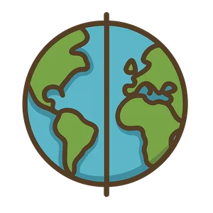
The Prime Meridian is the imaginary line at 0 degrees longitude that runs from the North Pole to the South…
Reads at Grades 6–8 Listens at Grades 4–8
Print & create
Answer keys·No prep·Free with an account
28 worksheets · answer keys · full story · quiz · Ages 10-12 · CEFR B2
Plus adds 164,000+ more stories in 27 languages, audio for every one, and printables for all of them.
Just want Prime Meridian?
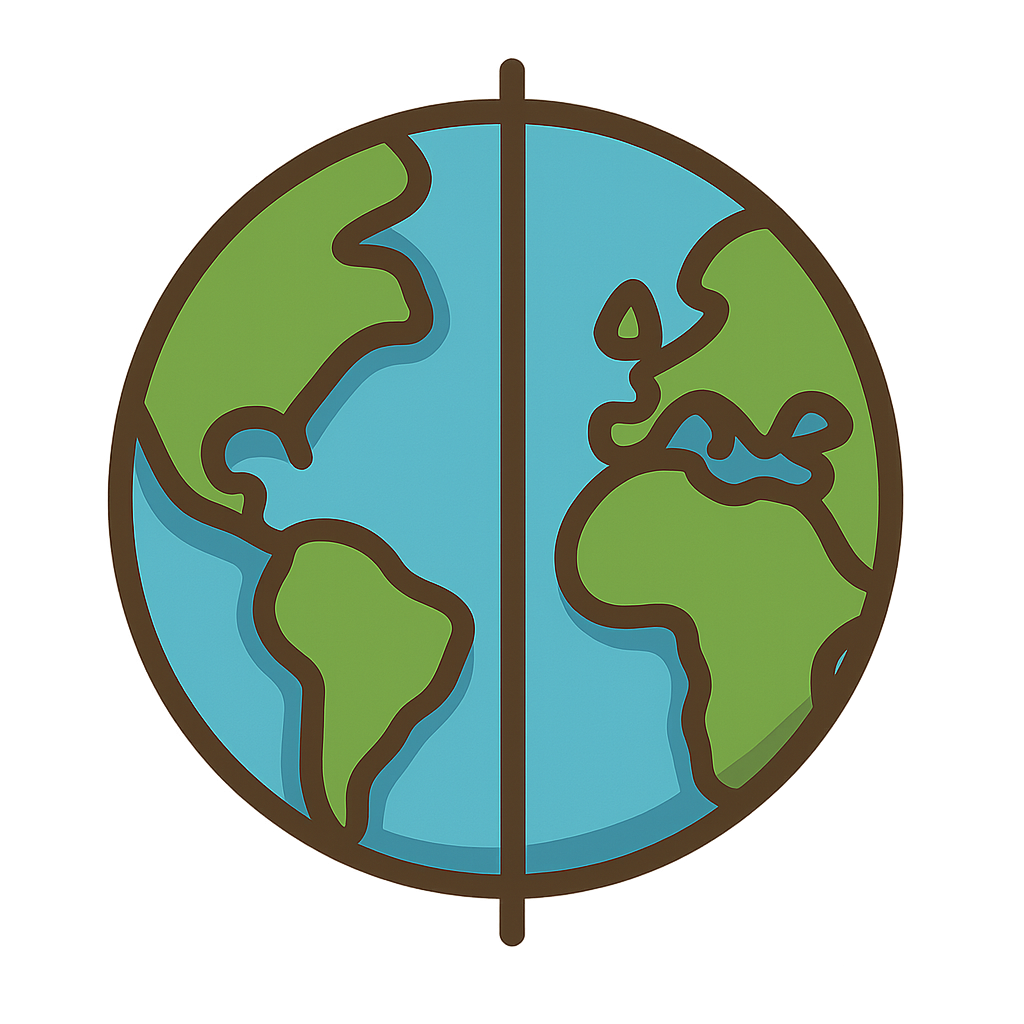
Imagine an invisible line that hugs the entire Earth, running from the icy North Pole, all the way down to the frosty South Pole, and back up again. I have no color, and you cannot trip over me, but I am one of the most important lines in the world. I am a starting line. For centuries, sailors on huge, wind-tossed seas and explorers trekking across unknown lands needed a way to know exactly where they were. They could figure out their latitude, how far north or south they were from the Equator, but east and west. That was a tremendous puzzle. I am the line that divides the world into the Eastern Hemisphere and the Western Hemisphere. Before I had a permanent home, I was a ghost, a mystery people were trying to solve. They knew they needed a 'me,' a zero-degree line to start from, but they could not agree on where I should live. This disagreement made the world a confusing and sometimes dangerous place.
My story really begins with the challenge of figuring out one’s place in the vastness of the world. The idea of a starting line for longitude, the measurement of east and west, is not new. Way back around 150 CE, a brilliant Greek astronomer named Ptolemy drew incredible maps of the known world. He created a starting line that passed through what he believed was the western edge of the world at the time—the Fortunate Isles, which we now call the Canary Islands. For hundreds of years after him, however, things got a bit messy. Many powerful countries decided to draw their own 'me' right through their own capital cities. There was a French me running through Paris, a Spanish me through Madrid, and many others across Europe. Imagine trying to follow a map or give directions if everyone's 'home base' was different. It was especially perilous for sailors. Without one single, universally accepted line to refer to, their charts were confusing, and calculating their position at sea was an incredibly difficult gamble. This monumental challenge was so significant it became known as the 'longitude problem.' Navigators desperately needed a reliable way to find their east-west position to avoid shipwrecks and guide their vessels to port safely.
The Line That Unites the World
Imagine an invisible line that hugs the entire Earth, running from the icy North Pole, all the way down to the frosty South Pole, and back up again. I have no color, and you cannot trip over me, but I am one of the most important lines in the world. I am a starting line. For centuries, sailors on huge, wind-tossed seas and explorers trekking across unknown lands needed a way to know exactly where they were. They could figure out their latitude, how far north or south they were from the Equator, but east and west. That was a tremendous puzzle. I am the line that divides the world into the Eastern Hemisphere and the Western Hemisphere. Before I had a permanent home, I was a ghost, a mystery people were trying to solve. They knew they needed a 'me,' a zero-degree line to start from, but they could not agree on where I should live. This disagreement made the world a confusing and sometimes dangerous place.
My story really begins with the challenge of figuring out one’s place in the vastness of the world. The idea of a starting line for longitude, the measurement of east and west, is not new. Way back around 150 CE, a brilliant Greek astronomer named Ptolemy drew incredible maps of the known world. He created a starting line that passed through what he believed was the western edge of the world at the time—the Fortunate Isles, which we now call the Canary Islands. For hundreds of years after him, however, things got a bit messy. Many powerful countries decided to draw their own 'me' right through their own capital cities. There was a French me running through Paris, a Spanish me through Madrid, and many others across Europe. Imagine trying to follow a map or give directions if everyone's 'home base' was different. It was especially perilous for sailors. Without one single, universally accepted line to refer to, their charts were confusing, and calculating their position at sea was an incredibly difficult gamble. This monumental challenge was so significant it became known as the 'longitude problem.' Navigators desperately needed a reliable way to find their east-west position to avoid shipwrecks and guide their vessels to port safely.
As global trade and travel exploded in the 18th and 19th centuries, the world could no longer function with so much confusion. The need to agree on just one starting line was more urgent than ever. By this time, Great Britain had a massive fleet of ships sailing to every corner of the globe, and their naval charts were considered some of the most accurate and reliable in the world. A huge majority of these ships were already using a line that ran through a very special building with a large telescope, perched on a hill overlooking London: the Royal Observatory in Greenwich. This place was a world-renowned center for astronomy and precise timekeeping, led by brilliant scientists like the Astronomer Royal, Sir George Airy. His state-of-the-art transit circle telescope was already the reference point for so many. Finally, it was time to make it official. On October 13th, 1884, delegates from 25 nations gathered in Washington, D.C., for the International Meridian Conference. They talked and debated, considering various proposals. In the end, they voted. The overwhelming choice was to make the line passing through the transit instrument at Greenwich the official starting line for the entire world. On that day, I was officially born. I am the Prime Meridian.
Today, I am your starting point, your zero. My official address is 0 degrees longitude. Every single place on Earth is measured by how many degrees east or west it is from me. But I do more than just help with location—I also help organize time. The world's time zones are all calculated based on me. The global standard for time, called Coordinated Universal Time or UTC, is centered right here in Greenwich. When you hear about time differences between New York and Tokyo, or check what time it is for a friend across the ocean, you are hearing about their relationship to me. I help pilots schedule flights that cross continents, allow businesses to hold meetings with people thousands of miles away, and let you know exactly when your favorite movie from another country will be available to watch. I am an invisible thread of cooperation, a quiet agreement that connects everyone. I am proof that when people from all over the world work together to solve a common problem, we can create something that helps us all navigate our shared planet.
Wow facts
About
The Prime Meridian is the imaginary line at 0 degrees longitude that runs from the North Pole to the South Pole, passing through Greenwich, England. It is the global standard for measuring longitude and the basis for the world's time zones.
Take a Quiz
Question 1 of 5
What was the main problem that led to the official creation of the Prime Meridian?
Explore next




Want to do even more?
Go beyond exploring. Unlock tools that turn every story into real learning.

Storypie Plus for families
Full stories, quizzes, and printables. Nights and car rides, sorted.
- Unlimited audio stories
- Create Mode: your child stars in the story
- Offline downloads
- Printable worksheets & coloring pages

Why Storypie for Schools
Students engaged. Prep in seconds. Evenings back to you.
- Worksheets & Quizzes
- Classroom Management
- Formative Assessment
- Custom Curriculum & Lesson Plans
- 27 Languages

Why Storypie for Homeschool
Curriculum done. They'll ask for more. Hours back in your day.
- Worksheet Generator
- First-Person Audio Stories
- Built-in Comprehension Quizzes
- Custom Curriculum & Lesson Plans
- Print & Go Activities