English

Prime Meridian
The Prime Meridian is the imaginary line at 0 degrees longitude that runs from the North Pole to the South…
Reads at Grades 3–5 Listens at Grades 1–5
Print & create
Answer keys·No prep·Free with an account
28 worksheets · answer keys · full story · quiz · Ages 8-10 · CEFR B1
Plus adds 164,000+ more stories in 27 languages, audio for every one, and printables for all of them.
Just want Prime Meridian?
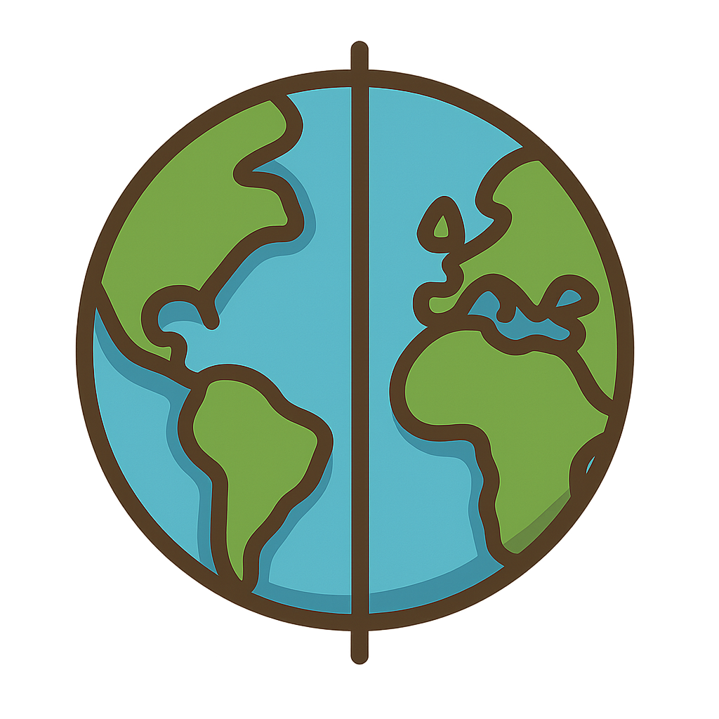
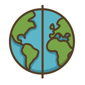
Have you ever wondered how a ship captain, out in the middle of a huge, sparkling ocean, knows exactly where they are? Or how your friend on the other side of the world knows what time it is, even when it’s daytime for you and nighttime for them? It seems like magic, but it’s really all because of me. I am an invisible, imaginary line. I wrap all the way around the Earth, stretching from the icy North Pole, down across continents and oceans, to the frosty South Pole. Think of me like a giant seam holding a soft ball together. I am the world's official starting line for measuring everything from east to west. I divide the entire planet into two halves, the Eastern Hemisphere and the Western Hemisphere. Without me, the world would be a very confusing place. I am the line that helps everyone agree on where things are and what time it is. I am the Prime Meridian.
For a very long time, people couldn't agree on where I should be. It was a giant, puzzling problem. Can you imagine trying to play a game where everyone had a different starting line? That’s what it was like for the world. Way back around 150 CE, a very smart Greek astronomer named Ptolemy had the right idea. He knew the world needed a starting line to make good maps, but he placed his line through a group of islands far out in the Atlantic Ocean. For centuries after him, things only got more confusing. Different countries decided that the most important line in the world should run right through their own capital city. So, there was a French me that ran through Paris, a Spanish me that ran through Madrid, and many others. It was a mess. This was especially a huge problem for sailors. To navigate safely across the sea, they needed to calculate their longitude, which is their position east or west. But if their map from Spain showed a different starting line than a map from England, their calculations would be all wrong. A tiny mistake could send a ship miles off course, into dangerous storms or rocky shores. The world urgently needed to solve this puzzle and agree on just one of me.
The World's Starting Line
Have you ever wondered how a ship captain, out in the middle of a huge, sparkling ocean, knows exactly where they are? Or how your friend on the other side of the world knows what time it is, even when it’s daytime for you and nighttime for them? It seems like magic, but it’s really all because of me. I am an invisible, imaginary line. I wrap all the way around the Earth, stretching from the icy North Pole, down across continents and oceans, to the frosty South Pole. Think of me like a giant seam holding a soft ball together. I am the world's official starting line for measuring everything from east to west. I divide the entire planet into two halves, the Eastern Hemisphere and the Western Hemisphere. Without me, the world would be a very confusing place. I am the line that helps everyone agree on where things are and what time it is. I am the Prime Meridian.
For a very long time, people couldn't agree on where I should be. It was a giant, puzzling problem. Can you imagine trying to play a game where everyone had a different starting line? That’s what it was like for the world. Way back around 150 CE, a very smart Greek astronomer named Ptolemy had the right idea. He knew the world needed a starting line to make good maps, but he placed his line through a group of islands far out in the Atlantic Ocean. For centuries after him, things only got more confusing. Different countries decided that the most important line in the world should run right through their own capital city. So, there was a French me that ran through Paris, a Spanish me that ran through Madrid, and many others. It was a mess. This was especially a huge problem for sailors. To navigate safely across the sea, they needed to calculate their longitude, which is their position east or west. But if their map from Spain showed a different starting line than a map from England, their calculations would be all wrong. A tiny mistake could send a ship miles off course, into dangerous storms or rocky shores. The world urgently needed to solve this puzzle and agree on just one of me.
Finally, the time came to make a big decision. In the year 1884, some of the most important people from 25 different countries traveled all the way to Washington, D.C., for a special meeting called the International Meridian Conference. Their goal was simple but very important: to choose one single, official starting line for the entire globe. They talked and debated, looking at all the different maps and options. In the end, they chose the line that passed through a special building called the Royal Observatory in a part of London called Greenwich. Why there? It was a practical choice. By that time, most of the world's ships, especially those from Great Britain which had a huge navy, were already using maps and charts that were based on the Greenwich line. It just made sense to make it the official one for everybody. So, on October 22nd, 1884, they all voted. I was officially chosen. I felt so proud, like I had finally found my true place. I wasn't just an English line or a French line anymore; I was the world's meridian, a line that belonged to and connected everyone.
My job is more important today than ever before. I am the starting point for all 24 of the world’s time zones. The official time that scientists and countries use is called Coordinated Universal Time, or UTC, and it’s based right on me. When you see that a city’s time is 'plus five hours,' it means it’s five hours ahead of the time at my line in Greenwich. I also have a very important role in technology you use every day. Have you ever used a GPS on a phone or in a car? That little device is talking to satellites in space to figure out exactly where you are. To do that, it needs a grid system, and I am a key part of it. I work with my friend, the Equator, who runs east and west. Together, we create a grid that can pinpoint any spot on the entire planet. I may be imaginary, but I help connect the world in real ways, reminding everyone that we all share one amazing planet and one single, flowing story of time.
Wow facts
About
The Prime Meridian is the imaginary line at 0 degrees longitude that runs from the North Pole to the South Pole, passing through Greenwich, England. It is the global standard for measuring longitude and the basis for the world's time zones.
Take a Quiz
Question 1 of 5
Why was it a big problem for sailors when different countries had their own prime meridians?
Explore next




Want to do even more?
Go beyond exploring. Unlock tools that turn every story into real learning.

Storypie Plus for families
Full stories, quizzes, and printables. Nights and car rides, sorted.
- Unlimited audio stories
- Create Mode: your child stars in the story
- Offline downloads
- Printable worksheets & coloring pages

Why Storypie for Schools
Students engaged. Prep in seconds. Evenings back to you.
- Worksheets & Quizzes
- Classroom Management
- Formative Assessment
- Custom Curriculum & Lesson Plans
- 27 Languages

Why Storypie for Homeschool
Curriculum done. They'll ask for more. Hours back in your day.
- Worksheet Generator
- First-Person Audio Stories
- Built-in Comprehension Quizzes
- Custom Curriculum & Lesson Plans
- Print & Go Activities