
The first GPS satellite launched 1978 was Navstar 1. It lifted off on February 22, 1978, from Vandenberg Air Force Base in California, marking a significant milestone in satellite technology and navigation systems according to HISTORY.com. That small experimental craft started a system we use every day.
The first GPS satellite launched 1978: Navstar 1
The Block I series began as a test program. Engineers launched Navstar 1 to prove the idea could work. At first, the goal was simple. The U.S. Department of Defense wanted better positioning, navigation, and timing for ships, aircraft, and troops. This series included a total of 11 satellites launched between 1978 and 1985, all designed to demonstrate the feasibility of the GPS system as noted by NASA.
Why the Navstar GPS program began
First, the military needed very precise location data. Then the Block I satellites tested hardware, timing, and signals. The tests were small steps, but they gave big confidence. Notably, each Block I satellite was inclined at 63 degrees to the equator, differing from the 55-degree inclination used in later operational satellites according to NASA. As tests succeeded, the program grew into a full constellation.
How GPS works in plain language
Think of satellites as very accurate clocks in the sky. Each satellite sends a stamped radio signal. A receiver compares when the signal left with when it arrived. By measuring delays from several satellites, the receiver finds its position. In short:
- Satellites send precise time signals.
- Receivers measure delays to find distance.
- Distances to many satellites give a 3-D fix.
GPS satellites carry atomic clocks, usually rubidium or cesium types. They orbit in medium Earth orbit at about 20,200 kilometers above Earth. They circle the planet roughly every 12 hours. To give near-constant coverage, engineers designed a constellation of about 24 satellites.
People and progress
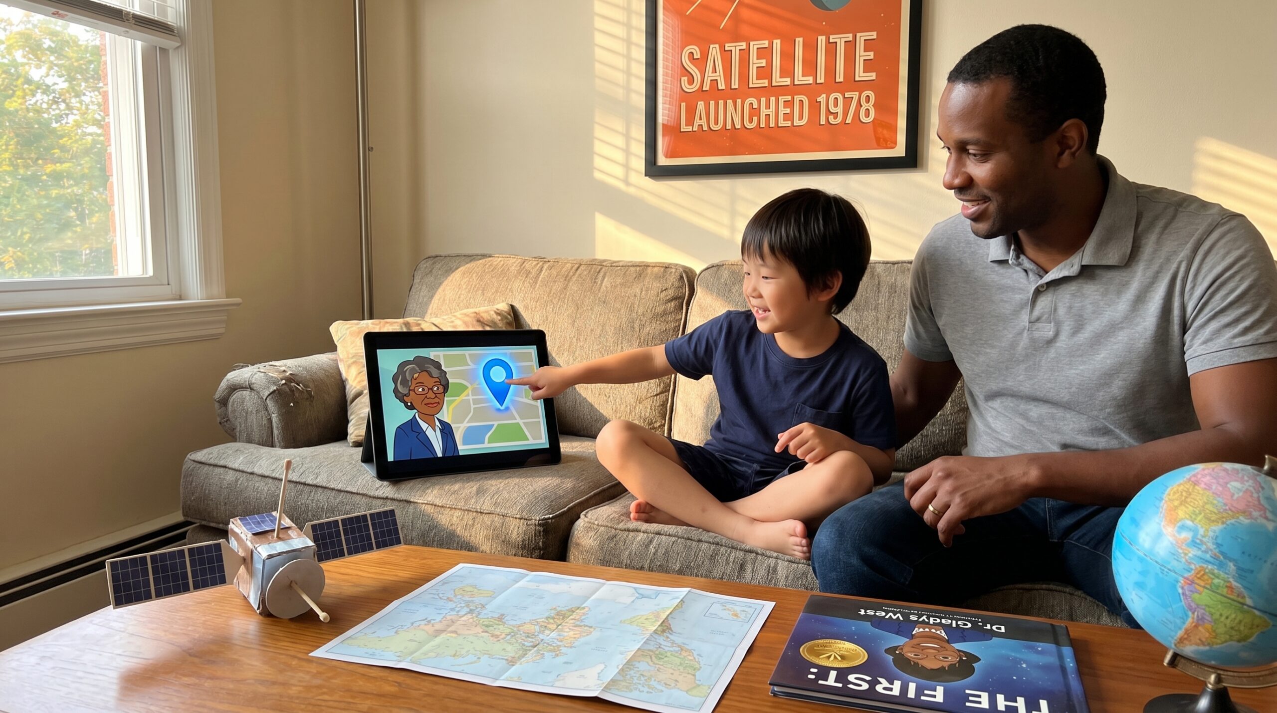
Mathematicians and engineers built the math and models that make GPS accurate. For example, Dr. Gladys West used her love of numbers to model the shape of Earth. Her geodetic work improved the geoid and refined satellite navigation.
The Block I program launched 11 test satellites between 1978 and the mid-1980s. These satellites validated design ideas before the system went operational. Each Block I satellite had a design life expectancy of 5 years, but some, like Navstar 1, exceeded this, operating for over 7 years as detailed on Wikipedia. Over the years, GPS moved from a military tool to a helpful everyday system. In the 1980s, policy changes allowed civilian use. Then, in 2000, limits called Selective Availability were removed. As a result, civilian accuracy improved dramatically.
Fun facts kids like
- GPS satellites orbit high, about 20,200 km above Earth.
- They circle Earth in about 12 hours.
- The first launches were tests that led to a global system used by millions.
Final thought: a single test launch in 1978 felt small then. Today GPS quietly helps us find our way, time networks, and explore. It began with math, clocks, curious people, and a spark of imagination.
Read or listen to a story about The First GPS Satellite Launched (1978) now: For 3-5 year olds, For 3-5 year olds, For 6-8 year olds, For 8-10 year olds, and For 10-12 year olds.
Tip: After listening, ask a child to find your home on a paper map. Then open a map app and compare. Ask how many satellites the device sees and why clocks matter. These quick steps turn history into hands-on spatial thinking.
Learn more stories on Storypie.